Forecast for the Uintas Area Mountains

Craig Gordon
Issued by Craig Gordon on
Tuesday morning, December 24, 2024
The Uinta zone offers LOW avalanche danger and human triggered avalanches are UNLIKELY. While a few shallow, stiff wind drifts are found near the high ridges, you'd really have to go out of your way to get into trouble today.
Remember... it's still low tide and there's a whole 'lotta reef out there. Rock and stump tagging conditions are a significant hazard so you'll wanna throttle it down a titch 'til the snowpack matures a bit more.
Low
Moderate
Considerable
High
Extreme
Learn how to read the forecast here
Special Announcements
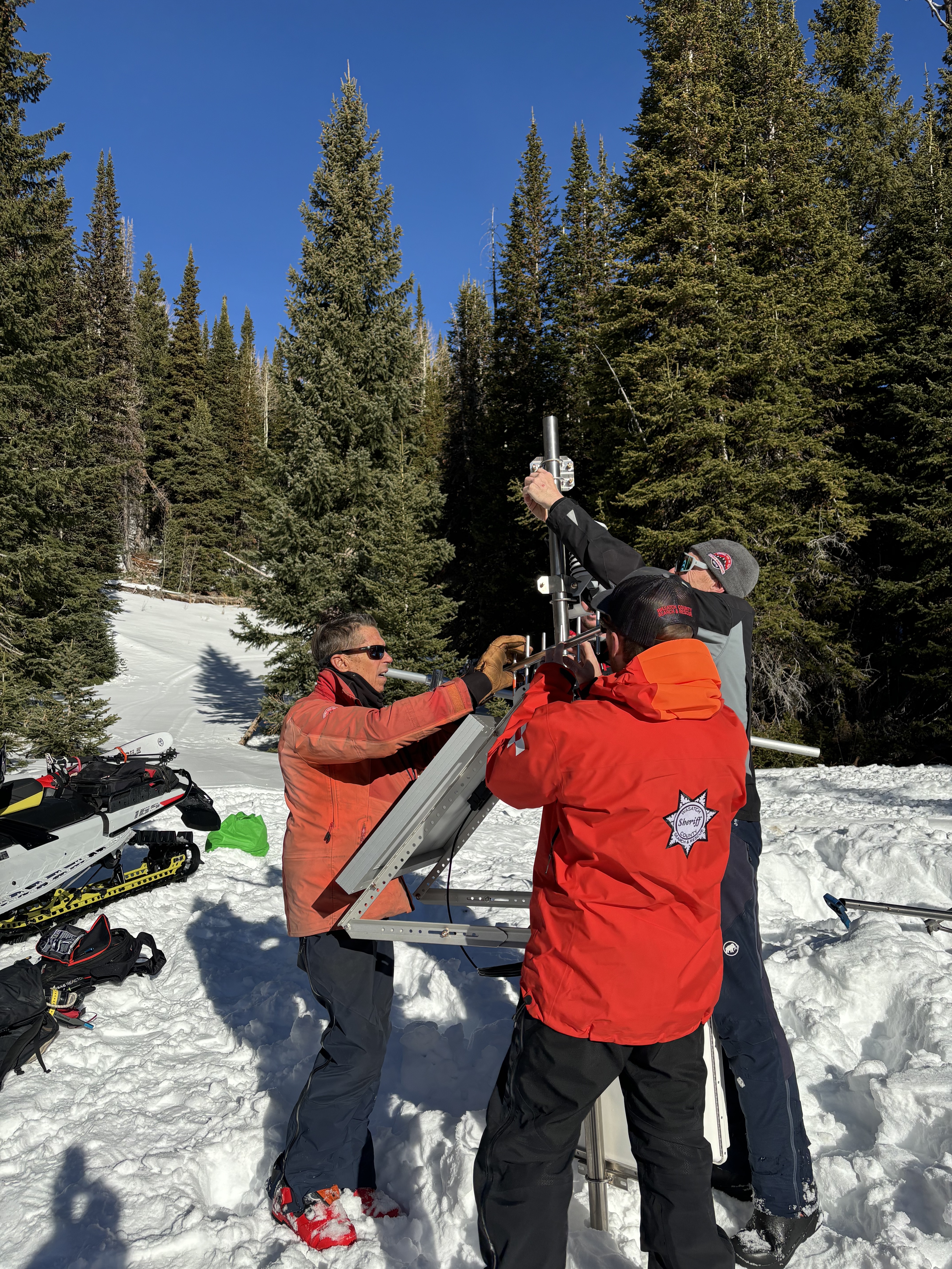
Over the weekend we hoisted the newest addition to the Uinta Weather Network – an automated snow site in Mill Hollow. We're still sorting through the comms and will make all the data public soon!
A huge thanks to our good friends at Salt Lake’s National Weather Service, particularly Sean Smith and Jesse Hewitt. In addition, many hands make short work out of a big task and we couldn’t have pulled this off without the boots on the ground help from Chad Brackelsberg, Tyler St. Jeor, Raylund Smith, and Larry Cohen. Thanks for the generous help and support with all aspects of this project!
Weather and Snow
Nowcast- Yesterday's little brush-by added a very shallow coat of white paint to the Uinta zone with most automated snow sites registering a trace of snow. Though to be fair, it looks like a few stations are reporting a couple traces... true snow magnets :) The mercury dipped into the teens overnight while northerly winds blow 5-15 mph near the high peaks. A band of thin clouds is at the door step, ushering in the next storm, slated to arrive later tonight.
Forecast- Expect increasing clouds throughout the day with temperatures rebounding into the low 30's. The big news are the southwest winds which begin cranking into the 30's and 40's by about sunset and rage into the 70's later tonight. Computer models are consistently, inconsistent with the track of tonight's storm, but I'm cautiously optimistic we'll see a couple inches of snow for Christmas morning.
Futurecast- Look for scattered snow showers Wednesday, a break in the action early Thursday, and another shot of snow slated for late in the day into Friday. A series of storms delivers warm temperatures and unsettled weather along with heavy, dense snow through the weekend.
Travel & Riding Conditions-
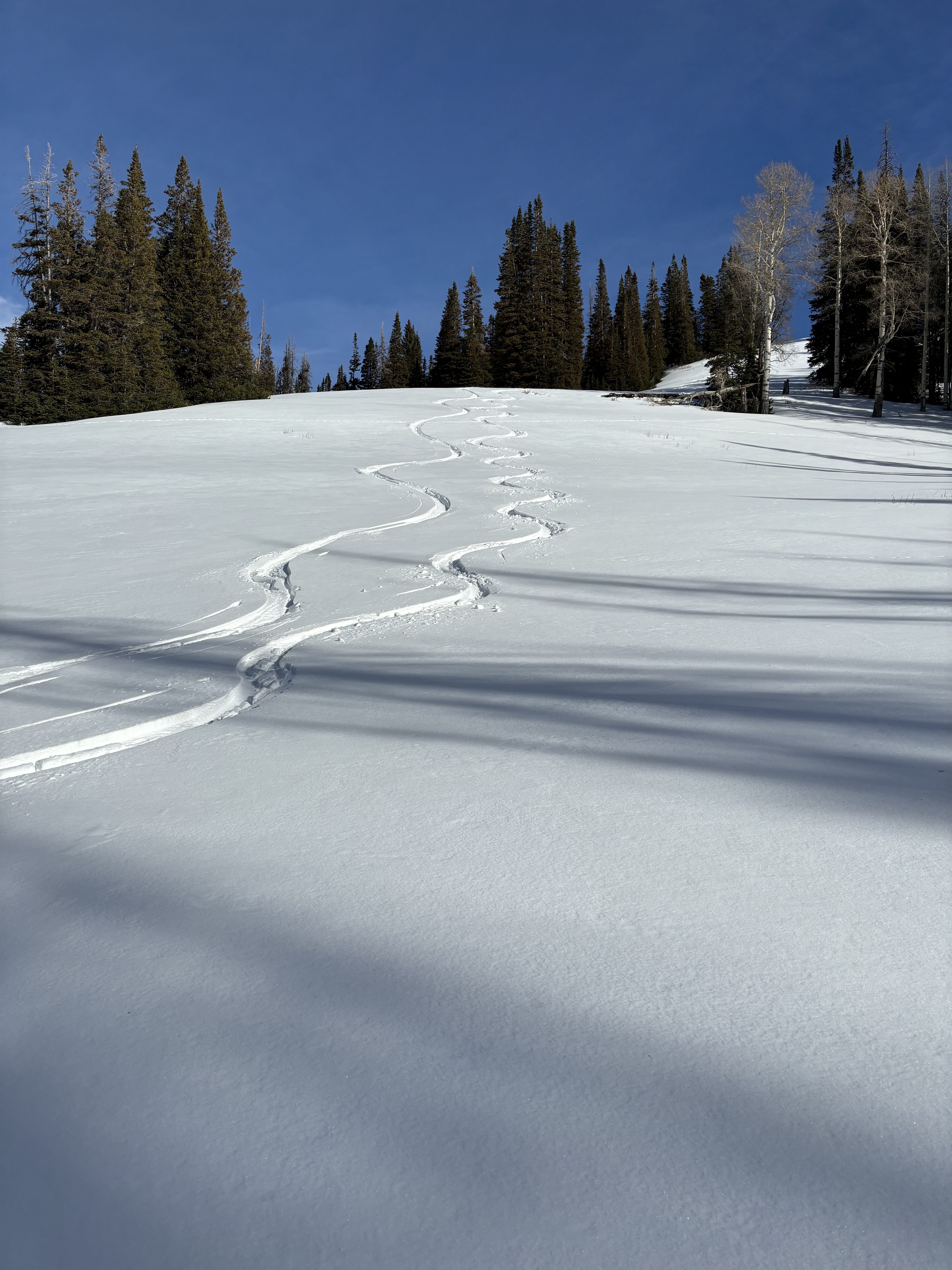
Andy and his partner found soft, creamy snow and acceptable riding conditions over the weekend. But with very low tide, it's a pretty low bar and "acceptable" takes on a whole new meaning. Yeah... the snowpack is a mixed bag of snow surfaces, structures, and depth.
Recent Avalanches
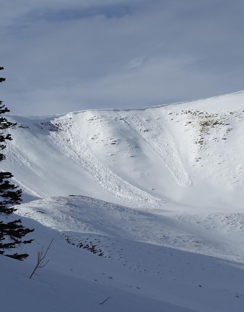
It's been four days since our last reported slide, coming in from Upper Weber Canyon where warm temperatures aided cornice failure, triggering the slopes beneath. Avalanches like in the image above, broke on a persistent weak layer that is well preserved across the range. For all your info, travel obs, and avalanches from the range visit, here!
Ad
Avalanche Problem #1
Normal Caution
Type
Location
Likelihood
Size
Description
There's not much going on, but here are a few things to keep in mind…
  • First, when the avalanche danger decreases we tend to venture into bigger and more consequential terrain. Whether your move is to upper-elevation alpine terrain, or stepping out onto bigger slopes let’s keep our game tight and continue to implement safe travel techniques.
  • Second, my greatest concern is riding through thin snowpack areas where stumps, rocks, and other buried treasures could really throw a curve ball at my day.
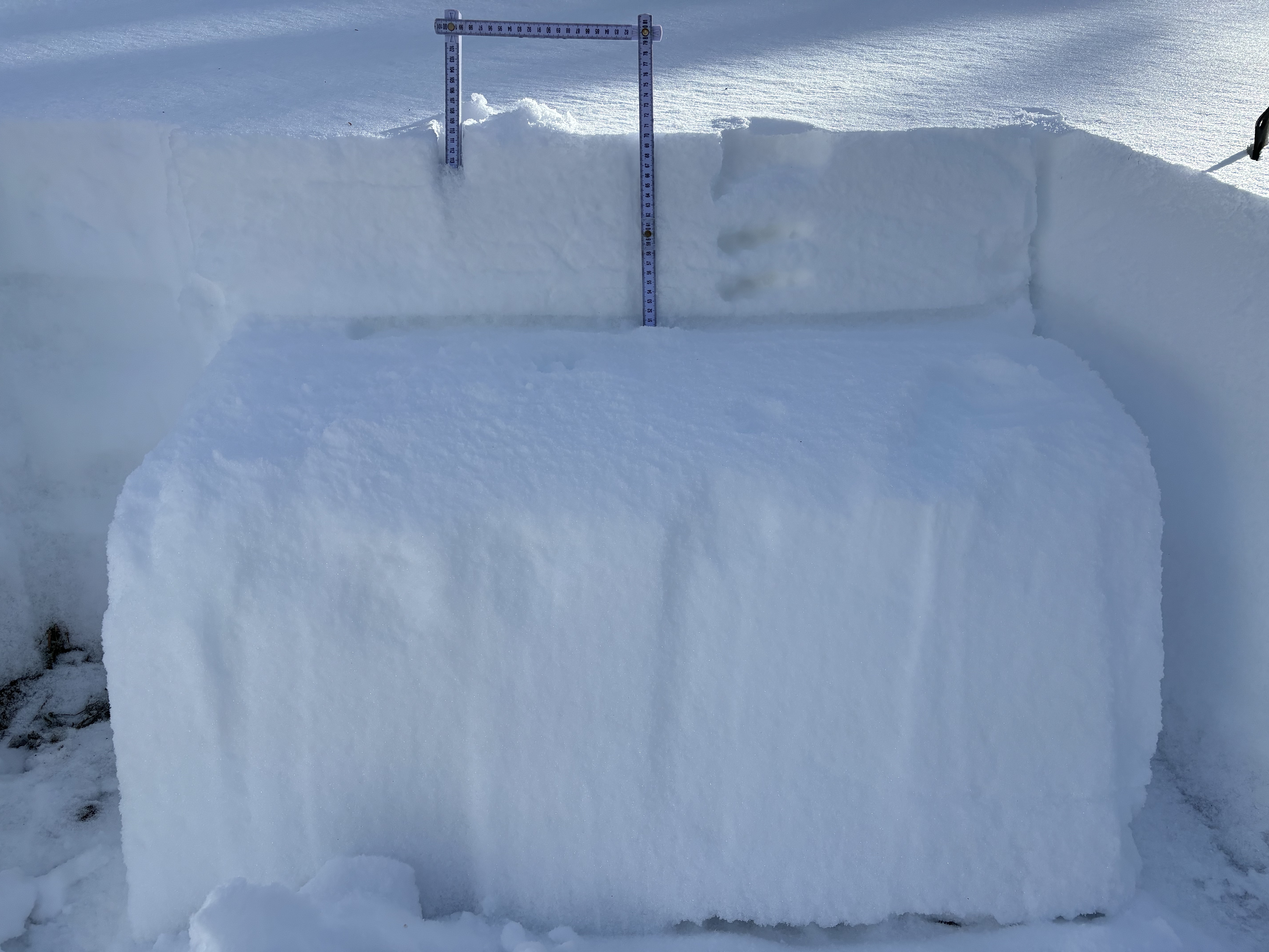
  • Finally, as we move into an active weather pattern this week let's keep our eyes on the prize, a thin, well-preserved layer of facets buried 4"-10" (10-25cm) beneath the snow surface. Though small in size our most recent avalanches have failed on this layer and our current snowpack is full of weak snow. With more snow and water on tap the writing is on the wall... we have a potentially dangerous snowpack, all we're missing is a dense, cohesive slab.
Mostly dormant and not much of a player for the minute we wanna keep an eye on the weak, well preserved near surface facets buried just below the snow surface.
General Announcements
The Uinta weather station network was upgraded this summer and all that real-time info is found here. Simply click on the "Western Uinta" tab and then the "Weather Stations" tab to find all your weather needs.
We are always looking for snow and avalanche observations or just general riding conditions. So... if you see something, say something. You can reach our team directly by contacting: Craig at craig@utahavalanchecenter.org, 801-231-2170, or Andrew at andy@utahavalanchecenter.org, or 860-460-8142.
General Information
This forecast is from the U.S.D.A. Forest Service, which is solely responsible for its content. This forecast describes general avalanche conditions and local variations always occur. This forecast was issued on Tuesday, December 24th at 03:30 AM and expires 24 hours after it was issued. We will update the forecast by 0700 AM tomorrow. But, in the meantime reach out to us with questions, or if you see anything in your travels.