Forecast for the Skyline Area Mountains

Brett Kobernik
Issued by Brett Kobernik on
Wednesday morning, February 9, 2022
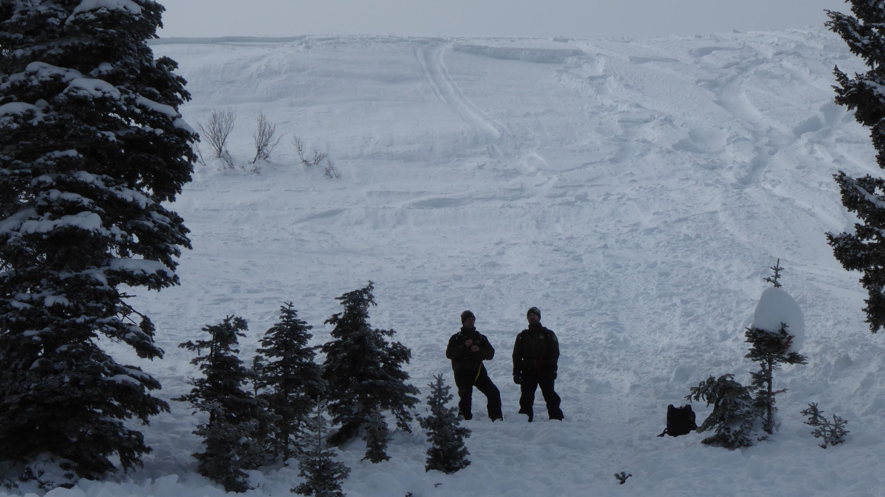
No big change in conditions. The avalanche danger on the Manti Skyline remains generally LOW.
The only real concern is if you were to trigger a wind drift and it knocked you down into rocks/cliffs/trees.
Wind slabs that may release on a person seem far and few between but don't let your guard down especially if you're getting into committing terrain.
Low
Moderate
Considerable
High
Extreme
Learn how to read the forecast here
Weather and Snow
Current Conditions
Northwest wind was slightly breezy along the higher ridges on Tuesday although quite tolerable if you were standing on a peak. They increased a little bit overnight but still are in the moderate speed range. Temperatures on Tuesday didn't warm as much as Monday and highs were in the mid 30s. They dropped down into the low 20s overnight. Crusts and wind board scatter the landscape on the snow surface but areas of soft re-crystalized powder can still be found in untracked areas.
Mountain Weather
We'll see a few clouds today but with plenty of sun also. High temperatures will be around 30˚F. Northwest wind will stay in the moderate speed category. The weather forecast looks the same through the weekend. Looking at the extended forecast this morning, I would say that the weather pattern looks more active starting next week than it has over the last few weeks. There are hints of storms moving through the western US. How they will affect our area remains to be seen. Weather models are really back and forth about how much moisture we'll see through Feb 24.
Ad
Avalanche Problem #1
Normal Caution
Type
Location
Likelihood
Size
Description
The snowpack remains mostly stable right now. Minor shallow wind slabs along ridges could possibly crack out but these seem far a few between. I'd like to again mention the fatal avalanche that killed a snowmobiler in Montana a few days ago. The reason is that we have fairly similar conditions on the Skyline right now. The set up is lots of loose sugary "near surface facets" on top of the snowpack with some scattered wind slabs that have formed on top of that sugar. I have not been able to get any of these to crack out but there were a few triggered over last weekend. The point is that there is a minor chance of triggering one and if it takes you by surprise when you're in committing terrain, it could spell trouble. The fatal avalanche in Montana was certainly not an impressively large slide (photo below).
General Announcements
This forecast is from the U.S.D.A. Forest Service, which is solely responsible for its content. This forecast describes general avalanche conditions and local variations always occur.