Check out our Holiday Auction

Forecast for the Skyline Area Mountains

Brett Kobernik
Issued by Brett Kobernik on
Monday morning, February 5, 2024
The overall avalanche danger is MODERATE on the Manti Skyline.
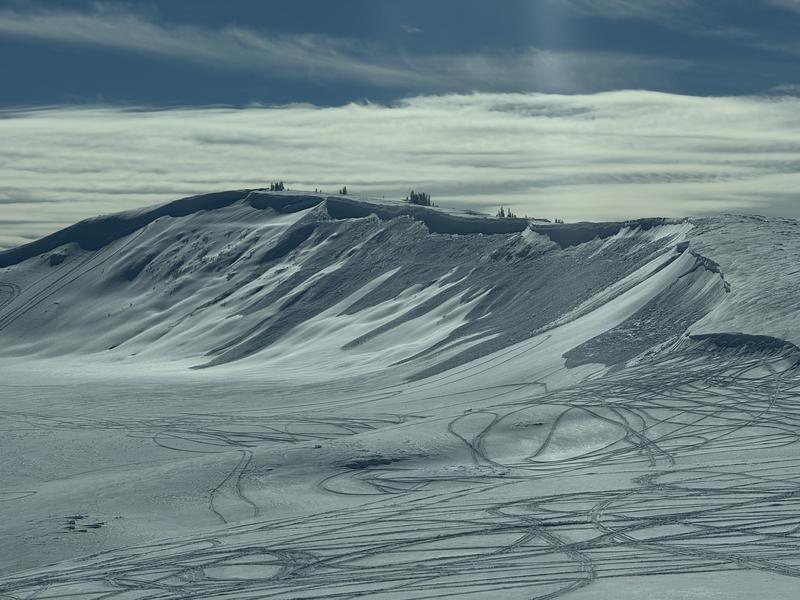
Wind drifts that formed during the last storm should be mostly stable now but I'd continue to avoid the largest most obvious pillows that are on steep slopes.
Triggering a deeper avalanche breaking into weak snow from December remains a possibility.
The likelihood of triggering a deep avalanche is not all that great but the consequences if you do could be severe.
Low
Moderate
Considerable
High
Extreme
Learn how to read the forecast here
Weather and Snow
Current Conditions: Sunday was a gorgeous day with mostly clear skies, temperatures in the low to mid 20s, light wind from the south (a little southeast even) and good riding conditions in the fresh snow. Temperatures remained around 20˚F overnight and the wind is still light from the south or southeast. Clouds moved in late yesterday and it looks like they'll be here for most of the week.
Mountain Weather: It'll be cloudy today with high temperatures in the mid 20s and light to moderate speed wind from the south or southeast. We'll see periods of snow through the week. The next one will start late Tuesday. This storm has a flow from the due south or maybe even a little southeast. This is not that favorable for snow accumulation on the Skyline but we may still pick up a few inches.
Recent Avalanches
There was some natural avalanche activity noted from the last storm. This is upper Spring Creek near the kite launch parking lot. This avalanche was caused by wind drifted new snow. The good news here is that it appears that it did not break deep into the old weak snow from December. Photo: Cade Beck
Ad
Avalanche Problem #1
Wind Drifted Snow
Type
Location
Likelihood
Size
Description
Fresh wind drifts that formed Saturday were somewhat sensitive. This is obvious from the natural avalanche mentioned above. At this point, these fresh drifts will have adjusted and stabilized. That said, it is still possible you could trigger one today. The most likely places to trigger one would be just underneath ridgelines or cornices on very steep easterly facing slopes.
Avalanche Problem #2
Persistent Weak Layer
Type
Location
Likelihood
Size
Description
I'm still concerned that the Persistent Weak Layer of sugary faceted snow at the base of the snowpack can produce avalanches. In general, we are slowly going in a good direction but there are still places a person could trigger an avalanche. Places where the snowpack is shallow are the most likely spots to trigger an avalanche that breaks down near the ground. During fieldwork on Sunday we experienced a couple of sizeable collapses on upper west facing terrain near the ridgeline. The pack was shallow. If we had been on a steeper slope, it would have avalanched.
General Announcements
This forecast is from the U.S.D.A. Forest Service, which is solely responsible for its content. This forecast describes general avalanche conditions and local variations always occur.