Forecast for the Skyline Area Mountains

Brett Kobernik
Issued by Brett Kobernik on
Saturday morning, February 19, 2022
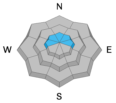
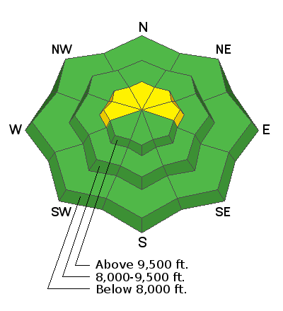
There is a "pockety" MODERATE avalanche danger on the Skyline. Small human triggered avalanches involving the new snow are possible in isolated locations. These won't pose much threat unless you are on very steep radical terrain with consequences below like rocks, cliffs or trees that you could get pushed into.
Low
Moderate
Considerable
High
Extreme
Learn how to read the forecast here
Weather and Snow
Current Conditions
The higher angle of the sun is starting to become noticeable. East and West facing slopes now quickly become damp as the sun hits them. Spring is approaching. It was a nice day in the mountains on Friday with temperatures into the mid 20s and a light northwest breeze along the ridgetops. Overnight temperatures dropped into the teens to low 20s. Wind remains pretty light.
Mountain Weather
Today will be another nice day with temperatures getting into the low 30s and light west wind perhaps increasing a bit this afternoon as it shifts more southwest. We'll see some clouds on Sunday with mild temperatures again. Southwest wind picks up and it could get kind of strong. Storm systems for this coming week are actually looking a bit better to me this morning. The big picture is they still want to split and will dive south but it looks like they will deliver some precip to our area. This is a pretty long duration storm so details are still murky for later next week. As of this morning it looks like we'll get a few inches of snow Monday night then a better chance for larger amounts Wednesday and Thursday. Hopefully this pattern holds through future weather model runs.
Ad
Avalanche Problem #1
New Snow
Type
Location
Likelihood
Size
Description
I've been prowling around on skis the last couple of days picking up some subtleties with the new snow. It's talking to us a little bit. I've experienced minor localized collapsing around my skis. I've been able to get a slope to crack remotely from about 20 feet away. I've been able to get the new snow fail as a slab in shear tests. The common denominator with all this is that weak sugary faceted snow is underneath the new snow wherever I experienced one of those actions. I don't think we have an immediate threat but there could be a few pockets where a person could actually get a small shallow avalanche to pop out. Very steep upper elevation west, north and east facing slopes is where you'd likely trigger something. My bigger concern is how things will react if we get some significant snow next week.
General Announcements
This forecast is from the U.S.D.A. Forest Service, which is solely responsible for its content. This forecast describes general avalanche conditions and local variations always occur.