Need a Christmas present for your favorite backcountry partner? Get
one of these cool t-shirts to support the UAC and other avalanche centers across the U.S.
As part of your early season tune-up, consider taking an avalanche class. We have lots of avalanche education classes listed already, from Know Before You Go to Companion Rescue to our Backcountry 101. Click on the Education menu on our webpage for a full list of classes from the UAC and other providers. Check out the Know Before You Go eLearning program for free, online, avalanche classes.
The snowpack has consolidated and become supportable in most locations. Travel is quite easy at this point. There still isn't enough snow for any real snowmobiling off the roads. This is a decent start for the winter. We need to see more snow being added to the snowpack soon otherwise it will start to weaken and turn into faceted sugar snow. Looking at the weather, it does look like the pattern is active although there are no huge storms on our doorstep. The next storm will move through late today into Thursday bringing 3 to 6 inches. The next storm looks like it'll be here late Saturday into Sunday. This one might bring a little more snow than Thursday's storm.
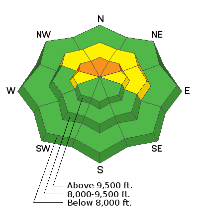
No avalanches were reported from the backcountry on Tuesday. However, collapsing of the snowpack continued on those upper elevation more northerly facing steep slopes. This is a sure sign that the snowpack remains unstable.


