

Forecast for the Skyline Area Mountains

Issued by Brett Kobernik on
Wednesday morning, December 21, 2022
Wednesday morning, December 21, 2022
The avalanche danger is rated at MODERATE today.
Chances for triggering an avalanche are becoming less likely but consequences remain high.
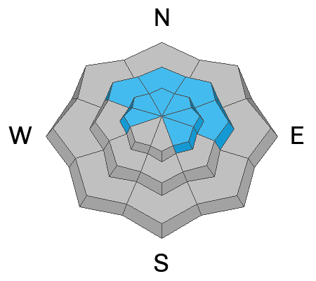
The most likely place to trigger an avalanche is on upper elevation northerly facing slopes steeper than 30˚ especially in areas where the wind has drifted and deposited snow.

Low
Moderate
Considerable
High
Extreme
Learn how to read the forecast here
 Special Announcements
As the end of the year approaches, please consider a donation to the UAC to support avalanche forecasting.
 Weather and Snow
Current Conditions: Temperatures on Tuesday got into the mid to upper 20s and dropped back down to around 20˚F overnight. The wind was light to moderate in speed from the west on Tuesday and it looks like it's in the moderate speed category along the peaks and ridges this morning. Riding conditions remain quite good. Today's wind will probably take a toll on riding conditions in many locations.
Mountain Weather: It looks like it's going to get a bit windy today with stronger speeds expected from the north as the day goes on. A storm is moving through northern Utah and will brush by our region bringing the chance for light snow today. The best chances for snow are later this afternoon and tonight. I'm only expecting a few inches of new snow from this storm. The wind looks pretty strong from the northwest into Thursday morning then we'll have a brief break before another quick hitting storm moves through Thursday night into Friday bringing another inch or two of snow. Looking long term, a more impressive series of storms is still being hinted at by weather models starting around the 29th.

Avalanche Problem #1
Persistent Weak Layer
Type
Location
Likelihood
Size
Description
The chances for triggering an avalanche that breaks into the November Persistent Weak Layer (DETAILS HERE) are becoming less as time goes on. The tricky thing is that the layer is still down there but it has gained some strength. There are places that a person could still trigger an avalanche. The most likely places are steep mid and upper elevation slopes that face northwest through east. Today's wind could drift and deposit enough snow onto some slopes and make them more sensitive to triggering an avalanche.
There are two ways that I could see things playing out with this weak layer:
- A large storm or series of large storms brings lots of snow and wind. This would most likely rapidly overload the weak layer and make it active again.
- Smaller storms keep coming and gradually stacking up snow, never rapidly overloading the weak layer. This slow addition of weight could gradually compress the weak layer into a stronger layer.
I'm hoping for the second solution. It all depends on weather. In the meantime, I continue to avoid the steep slopes. I've learned over the years not to mess around with steep slopes if there is a buried layer of sugary faceted snow.
Additional Information
General Announcements
This forecast is from the U.S.D.A. Forest Service, which is solely responsible for its content. This forecast describes general avalanche conditions and local variations always occur.