Forecast for the Salt Lake Area Mountains

Issued by Dave Kelly on
Saturday morning, December 7, 2024
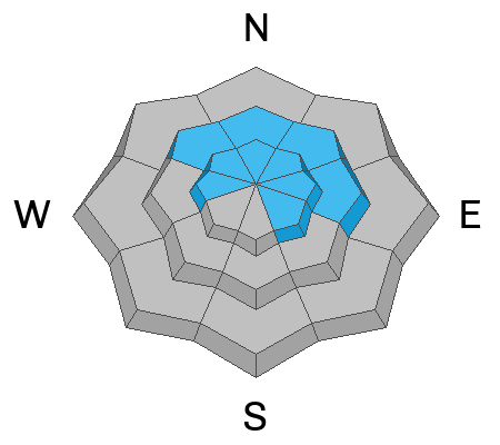
The avalanche danger is generally LOW. There may be isolated areas where you could trigger a small wind slab avalanche failing on a buried layer of facets.
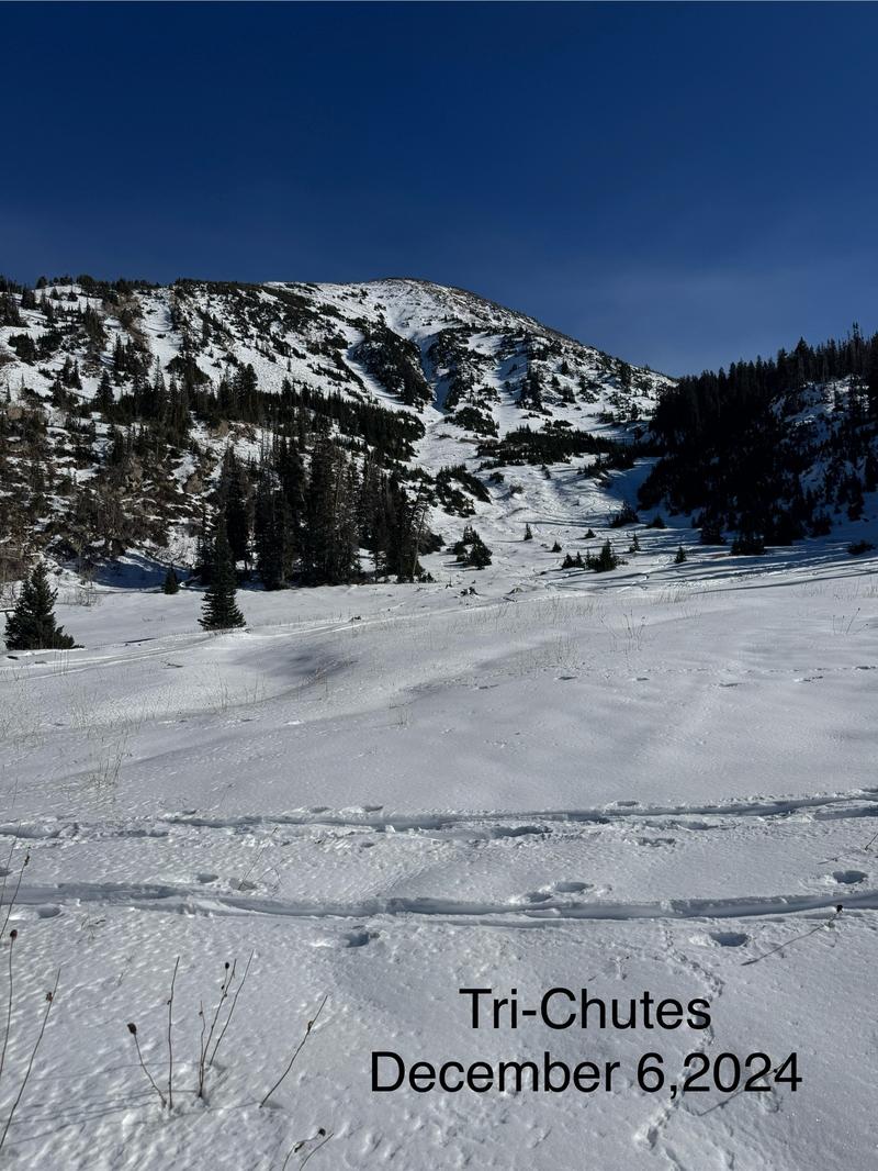
Watch for unstable snow on isolated terrain features, and avoid thinner areas where you may find buried objects just under the snow surface.

Low
Moderate
Considerable
High
Extreme
Learn how to read the forecast here
Special Announcements
Weather and Snow
Skies are mostly clear with inverted temperatures in the low teen's °F at the trailheads and in the 20's °F at the higher elevations. Winds are blowing lightly from the northwest at the 9,000' ridgelines and from the northwest in the mid 20's gusting to the low 30's MPH at the 11,000' ridgelines.
Today, look for clear skies. Temperatures will be 38-44 °F with light winds at the 9,000' ridgelines and winds blowing from the north-northwest 15 gusting to 20 MPH at the 11,000' ridgelines. The freezing level will hover around 10,000'.
Snow depths throughout the range are 12"-28" and many of the south and west aspects at lower elevations are back to dirt and wildflowers.
Photo showing snow coverage at 10,000' in White Pine
Recent Avalanches
There has been no recent avalanche activity. Check out all recent observations HERE.
Avalanche Problem #1
Persistent Weak Layer
Type

Location

Likelihood

Size

Description
The persistent weak layer (PWL) making up most of the snowpack on the north side of the compass continues to weaken. This structure is not going to be able to support much in the way of new snow or wind loading. Anywhere with old snow will be suspect once the weather changes and a slab builds over this weak layer. Take a look around and make note of what slopes, aspects, and elevations are and are not holding snow so you'll have an idea of locations to avoid once we get our next storm.
Weak snow is also forming on the surface and you can learn more about surface hoar HERE.
Photo of weak surface snow (Grainger)
General Announcements
This information does not apply to developed ski areas or highways where avalanche control is normally done. This forecast is from the U.S.D.A. Forest Service, which is solely responsible for its content. This forecast describes general avalanche conditions and local variations always occur.