Forecast for the Provo Area Mountains

Drew Hardesty
Issued by Drew Hardesty on
Thursday morning, April 10, 2025
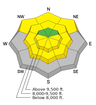
With direct sun and skyrocketing temperatures, the avalanche danger for wet avalanches will rise to MODERATE and perhaps higher today on all aspects and elevations but for high north today. Cornices and roof slides are also serious objective hazards in the mountains today. Some natural cornice falls may trigger large avalanches below.
Low
Moderate
Considerable
High
Extreme
Learn how to read the forecast here
Special Announcements
Motorized Users—Please consider taking this 5-minute survey to help researchers better understand avalanche education participation and safety preparedness. Responses are anonymous and confidential.

Our regular daily avalanche forecasts will end this Sunday, April 13. After that, we will issue updates when necessary and publish public observations until May 1.
Weather and Snow
Skies are clear.
Winds are light from the northwest; overnight lows as of 5am are in the upper 30s to mid-40s.
For today, we'll have sunny skies, light winds backing to the southwest, and temps skyrocketing into the mid-60s down low and the mid-40s up high!
Even warmer temps are expected tomorrow with cooler weather for the weekend.
Supportable corn can be expected sequentially on east, then south, then west facing aspects this morning. The window for travel on supportable crusts will be narrower and close earlier today. Westerly facing aspects may be done by about noon or so. Beyond that, travel will become unsupportable and dangerous.
Recent Avalanches
No new avalanches were reported to the UAC yesterday in the Provo mountains.
Observations can be found HERE
Ad
Avalanche Problem #1
Wet Snow
Type
Location
Likelihood
Size
Description
The snowpack is generally stable this morning and natural and human-triggered avalanches are unlikely. This is about to change.
WET AVALANCHES: With clear skies and forecast scalding temperatures, however, wet avalanches will be increasingly likely today on all aspects and elevations. For wet loose avalanches, the mystery is no mystery: if you see point release sluffs, pinwheels and rollerballs, and you're sinking and gouging into the snow, it's time to head to the car. Isolated wet slab avalanches may also be possible in areas that have had a poor refreeze over the last several days. Some of these wet debris piles will be large enough to bury a person.
CORNICES: These monsters will continue to calve off naturally, sometimes triggering large avalanches below. Avoid being on or below these huge cornices.
ROOF AVALANCHES remain a significant objective hazard with skyrocketing temps. A roof fatality occurred as recently as April 2023 in the Brighton township.
General Announcements
This information does not apply to developed ski areas or highways where avalanche control is normally done. This forecast is from the U.S.D.A. Forest Service, which is solely responsible for its content. This forecast describes general avalanche conditions and local variations always occur.