Snow: Overnight an additional 2 inches of snow fell and it is still snowing. Total snowfall this week is 9-12 inches (1 inch of water).
This morning temperatures are in the mid to upper 20s F. Winds were mostly light yesterday but increased some yesterday afternoon and overnight. This morning winds are still a bit gusty. They are averaging 15 mph from the south-southwest and gusting 20-30 mph.
Today, steady snowfall should continue into mid morning and then becoming more intermittent bringing another 1-3 inches of snow. Cloudy skies will prevent temperatures from warming beyond the lower 30s F. Winds should calm later this morning when they shift to the northwest.
The new snow is generally right side up on wind-sheltered slopes - meaning the upper layers are lighter and lower layers are denser HOWEVER gusty winds this morning created a denser layer of snow on top of lighter snow.
Yesterday in the Cottonwood Canyons, there were
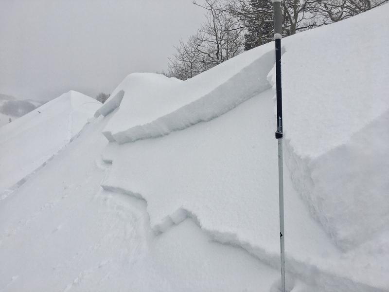
8 soft slab avalanches triggered in the new snow. All were about a foot deep and 25-125 feet wide and generally occurring above 9500 feet. Most occurred on northerly facing slopes, but two occurred on southerly facing slopes where the new snow had not bonded to an ice crust underneath.
Many of them likely failed on some graupel that fell early this week. Below is a photo of one I triggered on
Little Water Peak.