This morning, there’s a slight temperature inversion in the mountains, with trailhead temps near 10 °F and the highest ridgelines sitting around 20 °F. Winds out of the west have been steady overnight, averaging 5–10 mph with gusts up to 20 mph at mid-elevations and 15–25 mph, gusting to 40 mph, on the highest ridgelines. Snowfall tapered off overnight, leaving a trace to 1 inch since yesterday morning.
Today, temps will rise into the mid-30s °F. A small blip of high pressure will settle over the area this morning before giving way to partly cloudy skies and scattered snow showers this afternoon. Winds will stay westerly, averaging 5 mph with gusts up to 15 mph at mid-elevations and 15–30 mph, gusting to 35–40 mph, on the highest ridgelines. Expect a trace to an inch of new snow by sunset.
The main cold front will cross the northern Utah mountains late tonight through early Thursday, bringing the bulk of the storm’s snowfall. Snow will linger through Thursday before tapering off, with 4–8 inches expected and up to 0.75 inches of water. High pressure will follow, ushering in an extended stretch of dry weather.
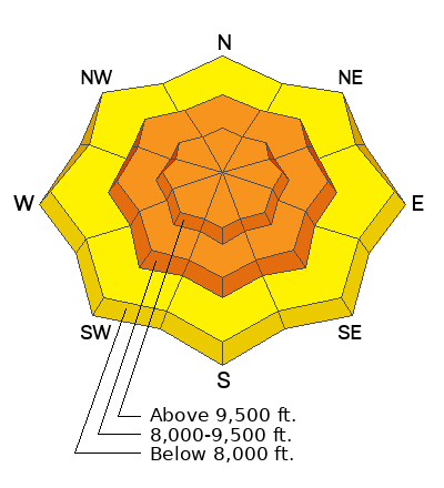
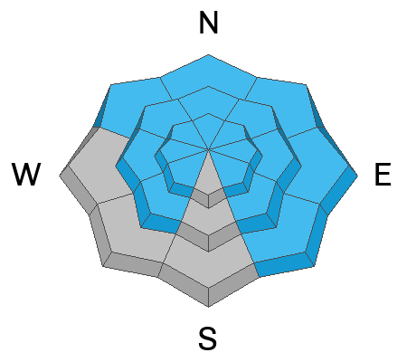
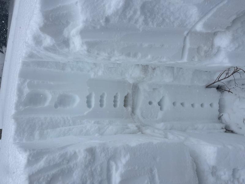
Widespread signs of instability are slowly decreasing, as are natural avalanches, but none of us trust this snowpack. With the incoming storm, avalanche danger will only rise again. We’ve seen avalanches on nearly every aspect and elevation over the past five days, and with multiple weak layers in play, there’s no way to know which one will fail. I don’t recommend trying to navigate the hazard right now. Plenty of excellent powder riding can be found on slopes under 30 degrees. Plain and simple.


