This morning, under broken skies the Northwesterly winds have begun to decrease after hitting averages up to 20 mph and gusts up to 40 mph at the upper-most elevations early this morning. Temperatures are in the low-20s F at trailheads and mid-teens F at upper elevations. The Ogden area mountains picked up a trace amount of snow.
The Provo mountains have roughly 6-12", the best riding will be found on shaded north-facing terrain if you can find anywhere holding soft snow from Thanksgiving that hasn't been impacted by the strong winds. Before the winds the Provo area mountains were growing impressive surface hoar on open North facing terrain, that surface hoar likely got knocked over during the elevated winds. The South-facing aspects have been going through a melt-freeze cycle, leading to a firm surface crust in the morning.
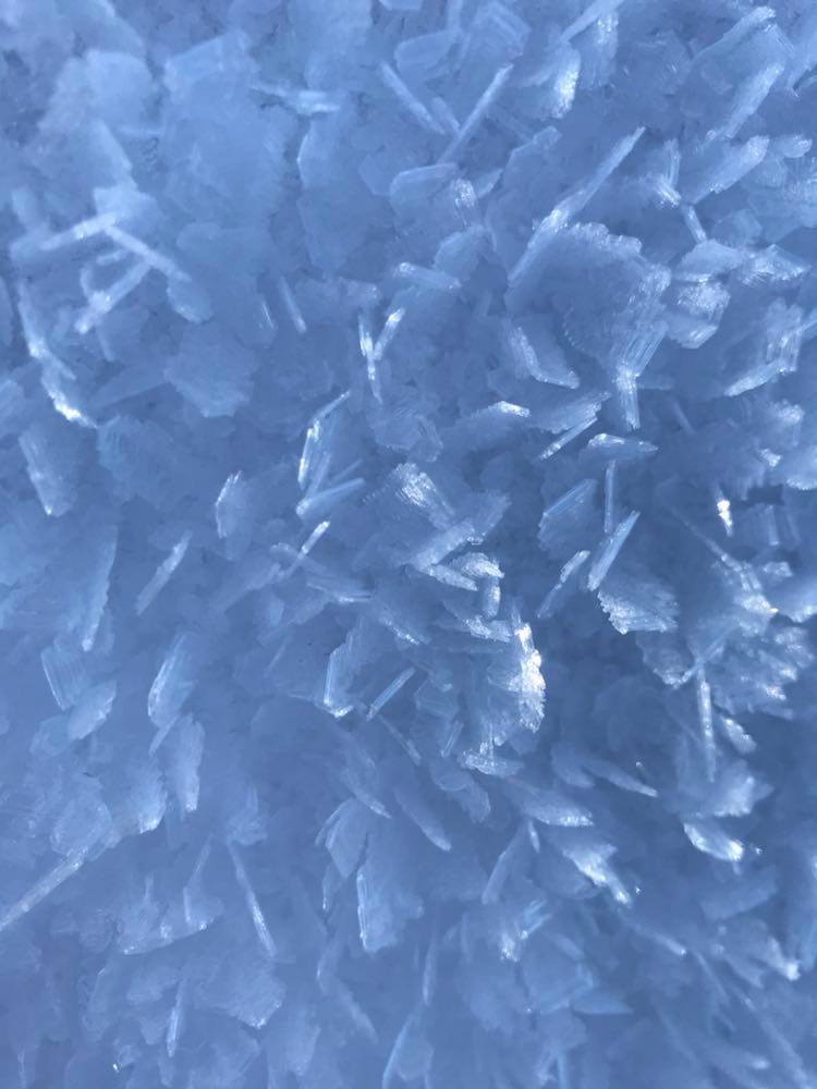
Photo of recent surface hoar growth from the Provo area mountains (PC: Woody)
Today, winds will continue to decrease throughout the day as the skies become clear. The winds will continue to be Northwesterly, and elevated, gusting up to 30 mph at mid-elevations and 50 mph at upper elevations. Temperatures will be in the mid-20s F as this cold air mass stays in the area through mid-week.
No new avalanches reported in the Provo area backcountry Yesterday.
In the Salt Lake Area mountains Pro observer Mark White saw some small fast-running dry sluffs in in the weak faceted snow of
No-name Bowl Sunday.
Video of the "facet sluffs" from No-Name Bowl (PC: M. White)
Recent observations can be found by clicking
here.