Forecast for the Provo Area Mountains

Mark Staples
Issued by Mark Staples on
Thursday morning, January 23, 2020
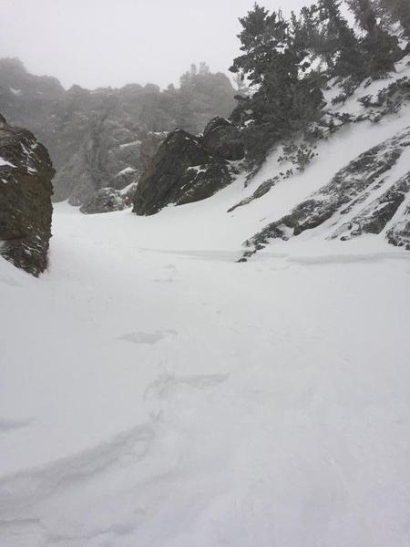
A MODERATE avalanche danger exists on upper elevation slopes with wind drifted snow. Mid and low elevations have generally safe avalanche conditions and a LOW danger.
Lose a little elevation and avoid slopes with fresh wind drifting, and you'll avoid most avalanches today.
Low
Moderate
Considerable
High
Extreme
Learn how to read the forecast here
Special Announcements
We are very sad to report an avalanche fatality from Saturday above Farmington Canyon. An 18-year-old male snowmobiler was caught, fully buried and killed. The final report is available HERE. Our deepest condolences go out to the friends, family, rescuers, and everyone affected by this tragic accident.
Weather and Snow
A trace of snow has fallen this morning. A little further north; however, it's snowing hard in upper Little Cottonwood Canyon which has gotten 4 inches (0.5 inches of water) as of 6 a.m. Since late Tuesday night most places received 2-4 inches of snow.
Gusty winds yesterday eased some this morning and are generally blowing 10 mph and gusting 20 mph from the WNW. Temperatures are mostly in the mid 20s F.

A few more snowflakes should fall this morning but not accumulate. Temperatures should warm into the mid 30s F under mostly cloudy skies. Winds should begin easing by this afternoon as a short-lived ridge of high pressure moves over the area this afternoon and evening. Off and on snowfall will come through the weekend with mild temperatures and no major wind event.
Recent Avalanches
Yesterday, ski areas and people in the backcountry triggered shallow soft slab avalanches mainly on slopes with wind drifting. These slides were generally breaking less than a foot deep and did not produce enough debris to bury a person but could sweep you off your feet and into trees or rocks. One slide happened on Kessler Peak and another in Cardiff Fork in the Hallway Couloir (video below).
Ad
Avalanche Problem #1
Wind Drifted Snow
Type
Location
Likelihood
Size
Description
If you avoid areas with wind drifted snow, you avoid most avalanches today. Look fresh slabs of wind drifted snow which appear rounded, smooth, and pillowly. Also, be aware of cross-loading when winds blow across a slope and load one side of it.
Photo of avalanche in the Hallway Couloir which was cross-loaded by winds yesterday.

CORNICE: More snow being transported by more strong winds yesterday has continued to grow cornices. They often break much further back than expected, so be sure to give them a wide berth when traveling along the exposed ridgelines.
General Announcements
This information does not apply to developed ski areas or highways where avalanche control is normally done. This forecast is from the U.S.D.A. Forest Service, which is solely responsible for its content. This forecast describes general avalanche conditions and local variations always occur.