Join us at our 2nd Annual Blizzard Ball

Forecast for the Provo Area Mountains

Drew Hardesty
Issued by Drew Hardesty on
Friday morning, January 14, 2022
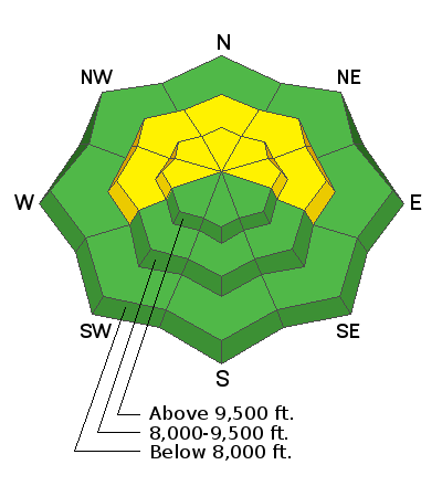
Areas of MODERATE danger exist on mid and upper elevation aspects facing west to north and east where it is possible to trigger a large and dangerous avalanche that may break down near the ground. Elsewhere, the danger is LOW.
Low
Moderate
Considerable
High
Extreme
Learn how to read the forecast here
Weather and Snow
Skies are partly cloudy trending clear in the wake of the cold front. Mountain temperatures have dropped into the low to mid-20s. Winds are 10-15mph from the north/northeast. The highest elevations had some gusts into the 50s and 60s with frontal passage, but are now averaging 25-30mph with gusts to 40.
For today, we'll have sunny skies, northeasterly winds at 15mph and temperatures in the high teens to mid-20s. The weekend looks the same, only warmer.
Snow surface conditions are a mixed bag of crusts with occasional patches of soft recrystallized powder in the protected terrain. Still, coverage is good and travel is easy. It should be a nice day out there.
Recent Avalanches
None
Ad
Avalanche Problem #1
Persistent Weak Layer
Type
Location
Likelihood
Size
Description
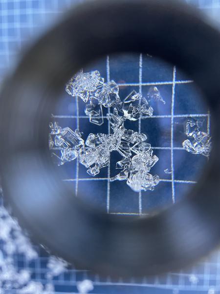
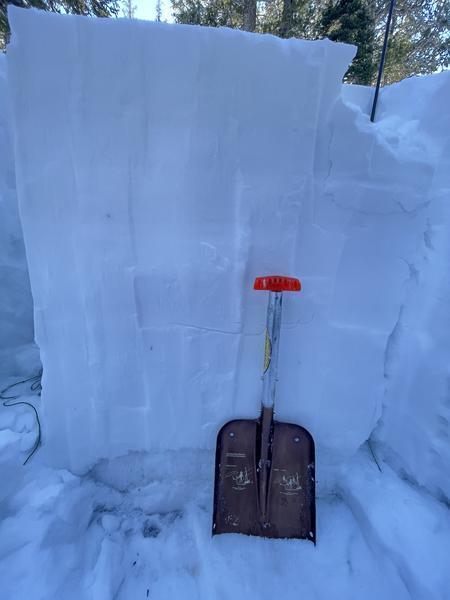
There is a persistent weak layer (PWL) of old faceted snow near the ground with 3-10' of snow on top of it. This PWL exists on mid and upper elevation slopes facing west through north and east. It does not exist on south-facing slopes as any early season snow melted away and December snowfall landed on bare ground. The last avalanche into this old layering in the backcountry probably occurred on January 5th or 6th in the central Wasatch.
One party experienced a collapse in one of the Powder Parks of Mill D North of BCC on Wednesday. It's the first report of a collapse or shooting crack in quite some time. Snowpit tests continue to produce inconsistent results but we do know that weak snow exists near the ground and we do know that many experienced people continue to avoid steep terrain. For now.

Photos from the Park City Ridgeline that show that the facets at the ground are beginning to round, but the poor snowpack structure still very much exists. (Photos: Weston Shirey)
General Announcements
Who's up for some free avalanche training? Get a refresher, become better prepared for an upcoming avalanche class, or just boost your skills. Go to https://learn.kbyg.org/ and scroll down to Step 2 for a series of interactive online avalanche courses produced by the UAC.
This information does not apply to developed ski areas or highways where avalanche control is normally done. This forecast is from the U.S.D.A. Forest Service, which is solely responsible for its content. This forecast describes general avalanche conditions and local variations always occur.