March Kicks Off Our Spring Campaign- Donate Now to Support Forecasting

Forecast for the Ogden Area Mountains

Nikki Champion
Issued by Nikki Champion on
Monday morning, March 10, 2025
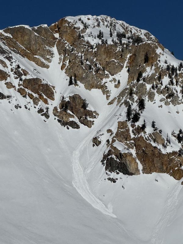
The avalanche danger will rise to MODERATE on all southerly facing terrain and on lower and mid elevation northerly facing terrain where we will see wet snow avalanches with daytime warming. This wet snow problem is a matter of timing, with the danger of these avalanches rising throughout the day.
The avalanche danger is MODERATE on all other aspects where Normal Caution for traveling in avalanche terrain is recommended.
Start early, pay attention to signs of warming, and get off solar slopes before they become unstable.
Low
Moderate
Considerable
High
Extreme
Learn how to read the forecast here
Special Announcements
We are heartbroken to confirm that 51-year-old Micheal Janulaitis of Marion, Utah, was killed in an avalanche on Friday, March 7th, near Hoyt Peak. Micheal was caught and carried while skiing a steep, northeast-facing run in Hoyt Bowl. Our deepest gratitude to the Department of Public Safety, Park City Mountain Resort and Canyons Village Snow Safety and Ski Patrol teams, and Wasatch Backcountry Rescue for their efforts in recovering Micheal and bringing him home to his family. Micheal was a friend of the UAC, and we are grateful for the time we shared. This is a tremendous loss for our backcountry community, and he will be deeply missed.
We are compiling accident details and a preliminary report can be found HERE.
March kicks off our Spring Campaign! If everyone in Utah’s backcountry community donates the cost of something they regularly enjoy on an adventure—like a dawn patrol burrito, a backpack snack, or post-ride trailhead drinks—we could fund not just one but two forecasters for the entire season! Donate here. Thank you!
Weather and Snow
Today's snow, weather, and recent avalanche activity was written by Jeremy Collett, the Utah Avalanche Center KBYG Coordinator.

At 5 AM skies are clear. Temperatures below 8300 have not seen a refreeze since yesterday morning and are currently sitting between 34 and 41 °F. The higher elevations temperatures are in the upper 20s °F. Winds are from the southwest and have kicked up in the last 12 hours. Current wind speeds are 20 to 25 mph gusting into the 40s at upper elevations.
Today: Today will be similar to yesterday, with clear skies and temperatures warming into the mid to upper 40s °F. Winds will be from the southwest with speeds of 15 to 25 mph gusting to 25 to 35 mph at the highest elevations.
Looking Ahead: The next storm is expected to move into the area on Wednesday, potentially bringing 1.0” to 2.0” of SWE and 10-20” of snow by Friday.
Snow Conditions: With warm temperatures yesterday, you can expect a solid crust on east, south, and west-facing slopes at all elevations this morning. The snow surface will likely turn to mush quickly due to strong sun and warm temperatures. However, it’s still possible to find cold snow on northerly aspects at mid to upper elevations.
Recent Avalanches
Over the past two days, there have been a few reports of natural and skier-triggered wet-loose avalanches on southerly and westerly slopes during afternoon warming. An example of this occured on Willard Peak yesterday, where a natural D1 wet-loose avalanche occured on a Southeast Aspect near 9400'.

Check out all avalanches and observations HERE.
Ad
Avalanche Problem #1
Wet Snow
Type
Location
Likelihood
Size
Description
Peak wet snow instability occurred over the past few days when cold snow was first exposed to warm temperatures. The snowpack seems to be adjusting well to warm daytime temperatures and colder nights.
That said, temperatures did not drop below freezing at all aspects in Ogden and wet snow avalanches are still possible today, and you can expect to see them as temperatures rise. These will begin late morning into early afternoon on steep, southerly-facing slopes at all elevations, with west-facing slopes becoming active later in the day. You may also encounter wet avalanches in low and mid-elevation, north-facing terrain. Timing is key—get off steep, sunlit slopes as they warm, as the danger will rise to MODERATE.
Avalanche Problem #2
Normal Caution
Type
Location
Likelihood
Size
Description
Last week's storm ended with strong winds, leaving behind shallow wind drifts on all aspects near ridgelines.
Normal Caution is advised when traveling on steep slopes in the Ogden area. Ensure your rescue gear is ready, and only expose one person at a time to avalanche terrain.
General Announcements
This information does not apply to developed ski areas or highways where avalanche control is normally done. This forecast is from the U.S.D.A. Forest Service, which is solely responsible for its content. This forecast describes general avalanche conditions and local variations always occur.