Forecast for the Ogden Area Mountains

Issued by Greg Gagne on
Friday morning, February 14, 2025
Friday morning, February 14, 2025
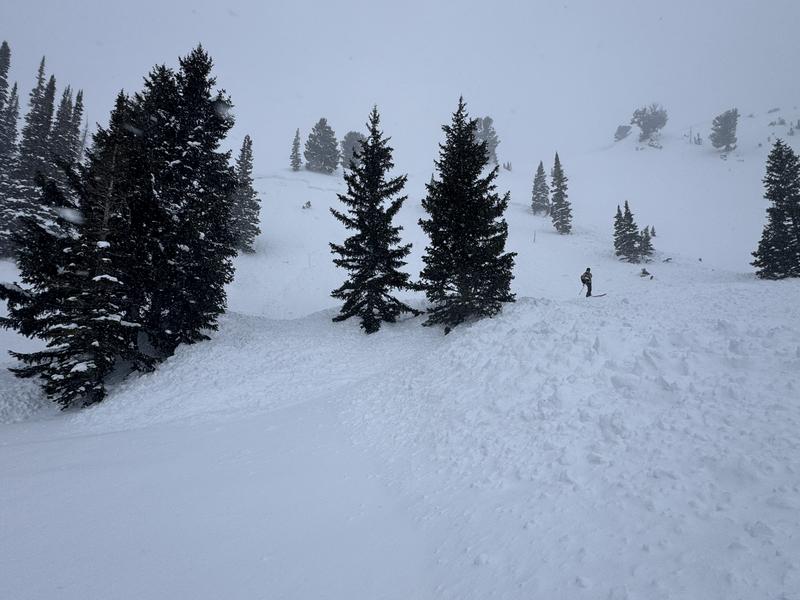
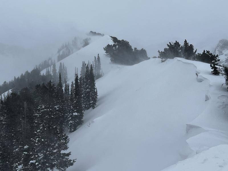
The avalanche danger is HIGH on all aspects and elevations where heavy snowfall and strong winds have created dangerous avalanche conditions. Low-elevation southerly-facing slopes have a CONSIDERABLE danger.
Avoid all avalanche terrain today.

Low
Moderate
Considerable
High
Extreme
Learn how to read the forecast here