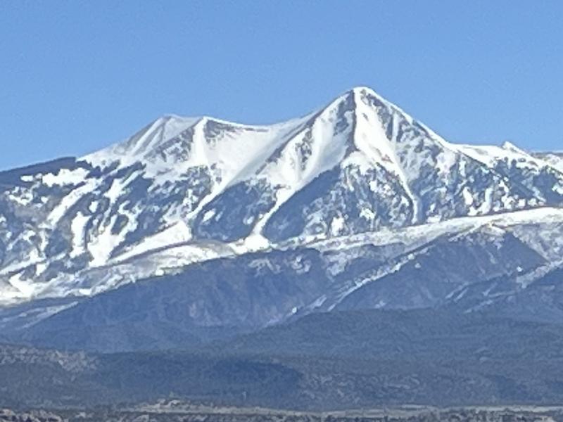
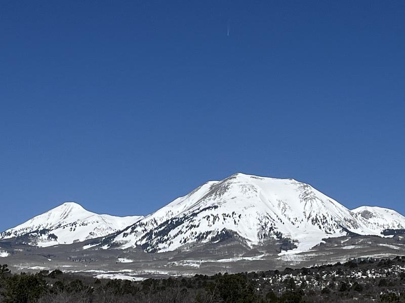
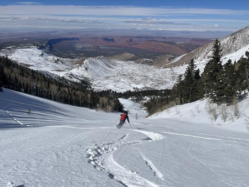
It was a busy weekend in the mountains with dozens of descents off the high peaks in Gold Basin and surrounding terrain. On the avalanche front, I only received a couple reports of people encountering very small and isolated wind slabs in the highest terrain. I also received
this report of folks triggering small, loose, wet avalanches late in the day. Cornices are huge, give them a wide berth. The last snowfall was 7" on Friday, April 14.
Overall, the snow surface is a mix of spring conditions with some dry, wind affected snow on the highest north faces, and sun affected, melt freeze crusts pretty much everywhere else. A good melt/freeze cycle is in store for the upcoming week and we should see some decent corn snow conditions developing on SE-S-SW-W aspects. The only wrench will be high winds on Tuesday that could bring us a dust layer.
Timing is everything this time of year. Get in early and out early, both for the best snow conditions and to avoid the threat of loose, wet avalanches. Follow the sun and ride slopes with an easterly aspect first, then move to south, and finally west. Signs of instability incude rollerballs, pinwheels, and sloppy wet snow. If you find yourself sinking into wet snow above your ankles, you're out too late.
It was a busy weekend up there with lots of tracks on the high peaks!
I had a look at the S and E sides of the range on Sunday, April 16. Tuklear Reaction, or the SW gully off of Mount Tukuhnikivatz or "Tuk" (pronounced Tuque) is in and should hold for at least the week.
The SE face of Mount Peale is as smooth and filled in as I've ever seen it, unfortuantely, there is no plowed access this year and you are going to need a snowmobile.


