Forecast for the Moab Area Mountains

Issued by Dave Garcia on
Friday morning, April 11, 2025
Friday morning, April 11, 2025
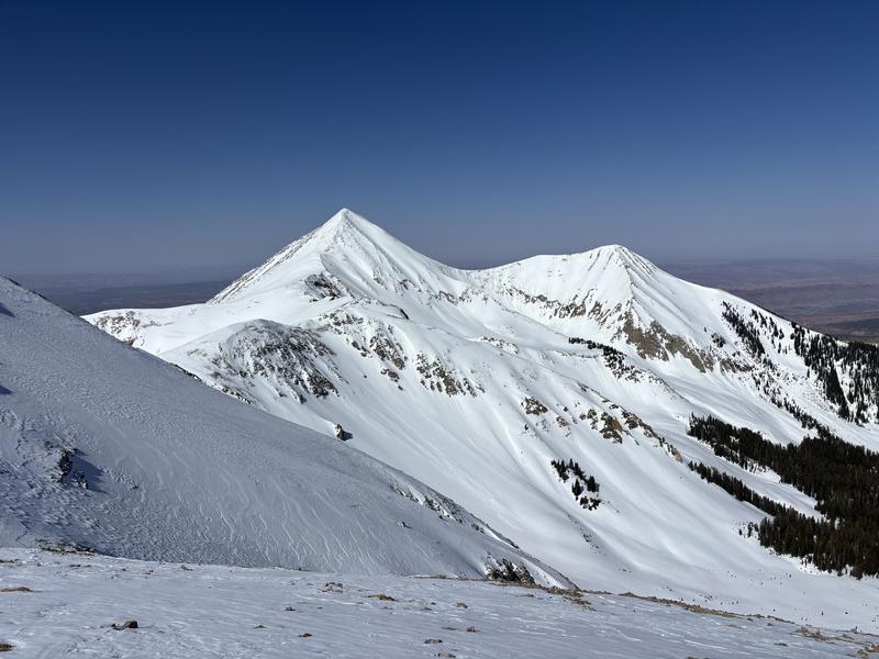
Most slopes have a LOW danger early this morning. The danger will quickly rise to MODERATE for wet avalanches on all sun exposed slopes. With near record high temperatures, northerly aspects near treeline and below may also be problematic today. To manage this hazard, start and end your day early. Pay close attention to the snow surface. When the snow becomes wet and saturated, it is time to change aspects or head home.
Above treeline slopes that face north and northwest will stay cold and dry and have a LOW danger.
Above treeline slopes that face north and northwest will stay cold and dry and have a LOW danger.
Our long standing persistent weak layer problem is generally non-reactive and people are skiing all kinds of terrain without incident. Weak faceted snow still remains on upper elevation, northerly aspects however, and cautious mountain travelers will continue to avoid likely trigger points such as shallow rocky starting zones, thin steep convexities, and areas of very radical, extreme terrain.

Low
Moderate
Considerable
High
Extreme
Learn how to read the forecast here