Forecast for the Moab Area Mountains

Issued by Eric Trenbeath on
Friday morning, March 5, 2021
Friday morning, March 5, 2021
Recent snow and wind have created a MODERATE danger for avalanches involving wind drifted snow on all aspects above treeline. On steep slopes facing NW through N through SE, there remains a MODERATE danger for human-triggered avalanches 2'-4' deep failing on a buried persistent weak layer. Thin snowpack areas around rock outcroppings, sparse trees, or along slope margins are the most likely trigger points. Strong sun and warm temps today will quickly affect the most recent snow and we should see a MODERATE danger for shallow, loose, wet slides today on sun-exposed slopes. Look for signs of instability such as roller balls and pinwheels, and get off of and out from under steep slopes if they become wet and sloppy.

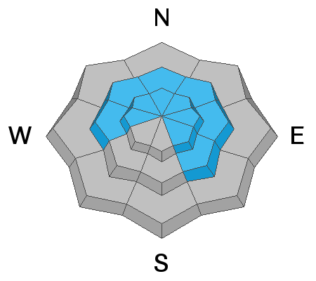
Low
Moderate
Considerable
High
Extreme
Learn how to read the forecast here