Forecast for the Moab Area Mountains

Issued by Eric Trenbeath on
Thursday morning, March 28, 2019
Thursday morning, March 28, 2019
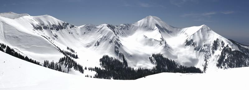
The avalanche danger is generally LOW this morning but will rise to MODERATE for wet snow avalanches on sun exposed slopes. The danger will develop first on east facing slopes followed by south, and then west. Low elevation, northerly aspects are also susceptible. Roller balls, pinwheels, and loose snow sluffs are signs of instability. Work with the sun, and get off of steep slopes as they become wet and sloppy. If you are moving into higher, northerly facing terrain in search of dry snow, maintain your avalanche awareness. Be alert to areas of wind drifted snow, as well as the possibility for triggering an avalanche on a buried persistent weak layer, particularly in areas with rocky, more radical, or extreme terrain.

Low
Moderate
Considerable
High
Extreme
Learn how to read the forecast here