Forecast for the Moab Area Mountains

Issued by Eric Trenbeath on
Friday morning, February 7, 2020
Friday morning, February 7, 2020
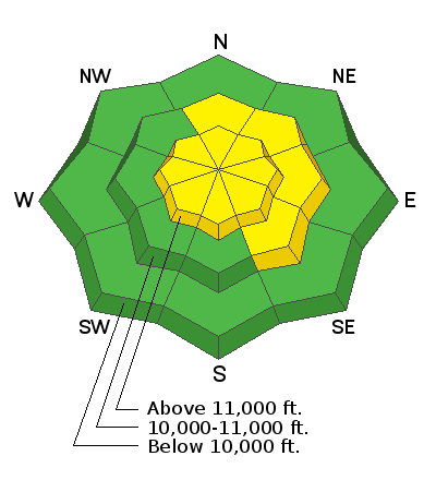
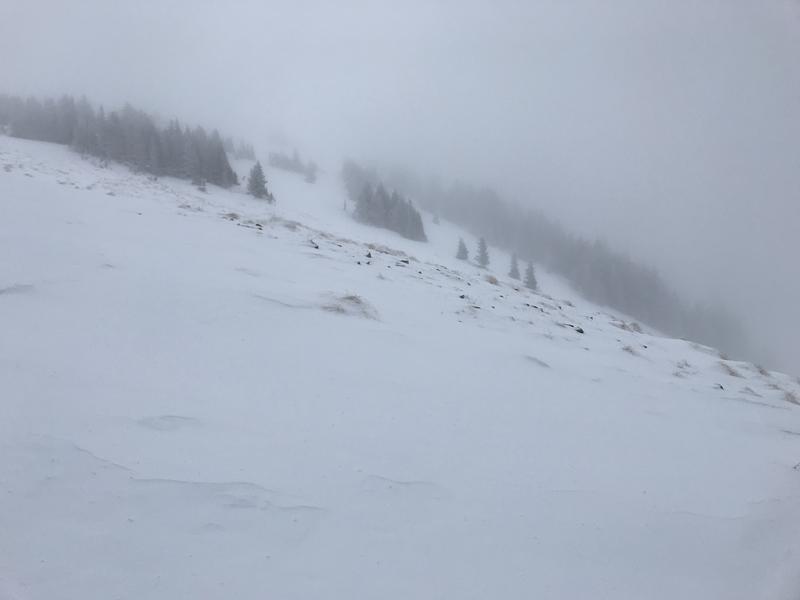
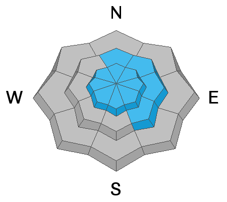
The avalanche danger remains MODERATE today and human triggered avalanches involving wind drifted snow are possible. The danger is greatest on upper elevation slopes facing N-NE-SE, but strong and shifting winds have deposited drifts on all aspects. Drifts can be found adjacent to wind-scoured terrain, with subtle terrain features making all the difference. Drifts may also be found farther downslope than usual. Wind drifts are recognizable by their smooth, rounded appearance and cracking is a sign of instability. In areas where the underlying snow is shallow and weak, a triggered wind drift may cause a deeper and more dangerous avalanche. Choose terrain carefully and avoid steep slopes with recent deposits of wind drifted snow.

Low
Moderate
Considerable
High
Extreme
Learn how to read the forecast here


