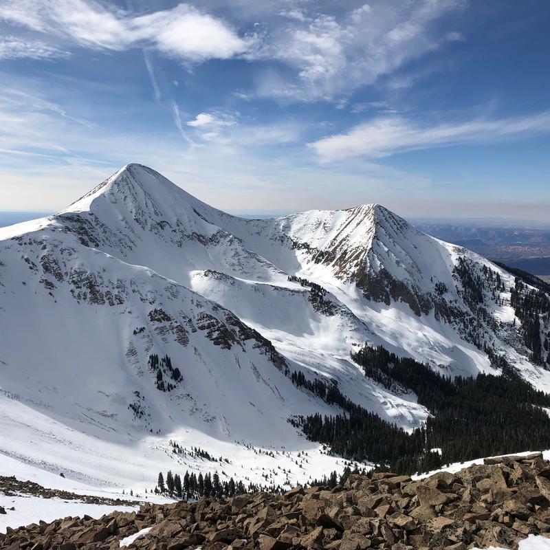
Forecast for the Moab Area Mountains

Issued by Eric Trenbeath on
Saturday morning, November 24, 2018
Saturday morning, November 24, 2018
The avalanche danger will rise to MODERATE today as fresh deposits of wind drifted snow begin to form on the lee sides of ridge crests and terrain features in upper elevation, wind exposed terrain. On slopes that face NW-N-E, the wind drifted snow will be sitting on top of loose, weak, sugary, faceted snow, and the potential for triggering a deeper avalanche exists in these areas. Back country travelers should be alert to recent deposits of wind drifted snow, and avoid steep slopes where it is present.

Low
Moderate
Considerable
High
Extreme
Learn how to read the forecast here