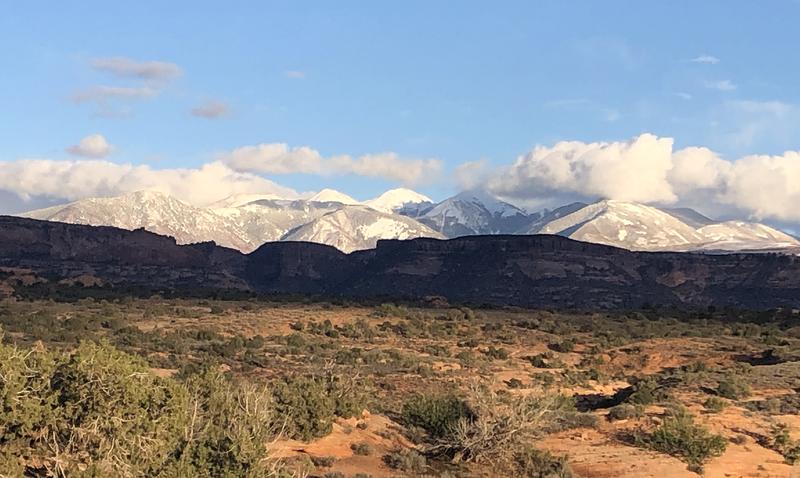
Forecast for the Moab Area Mountains

Eric Trenbeath
Issued by Eric Trenbeath on
Wednesday morning, October 13, 2021
We're not yet posting regular avalanche forecasts, but I will update this advisory as significant weather conditions and snowfall warrant. In the meantime, you can use the weather links below to keep abreast of snow totals and current conditions.
Low
Moderate
Considerable
High
Extreme
Learn how to read the forecast here
Special Announcements
The 14th Annual Utah Snow and Avalanche Workshop is virtual again this year and will be held Nov 5th (professional session) and Nov 9th, 10th, 11th evenings from 6-9pm. More info and speaker lineup on our Events page HERE.
Check all the upcoming education HERE.
Weather and Snow
The first significant snowfall of the season fell on October 12, with the new SNOTEL site in Gold Basin (10,000') registering 13" at 1.6" Snow Water Equivalent (SWE). On upper elevation, northerly aspects, this recent snow fell on a pre-existing 6"-12". In addition, strong southerly winds drifted snow on to northerly aspects and I suspect depths along leeward ridgecrests and upper elevation starting zones to range from 18"-24". It remains to be seen how this will affect the upcoming season snowpack, but it seems likely that snow will remain on northerly facing slopes above 10,000'. If this is the case, then the stage has been set for a layer of weak, sugary, faceted snow to form at the base of the snowpack in these areas. This happens when shallow snow sits around on cold shady slopes. To learn more about this process, go here. The only scenario that would prevent this from happening would be for it to just keep on snowing! To see if that's happening, check the links below.
BRAND NEW! Gold Basin SNOTEL site (10,000')
La Sal Mountain SNOTEL site (9600') near the Geyser Pass Trailhead.
The Pre Laurel Peak wind station and Gold Basin interval stake will be online shortly.
Ad
General Announcements
This forecast is from the U.S. Forest Service, which is solely responsible for its content. This forecast describes general avalanche conditions and local variations always occur.