Forecast for the Moab Area Mountains

Issued by Eric Trenbeath on
Saturday morning, January 25, 2020
Saturday morning, January 25, 2020
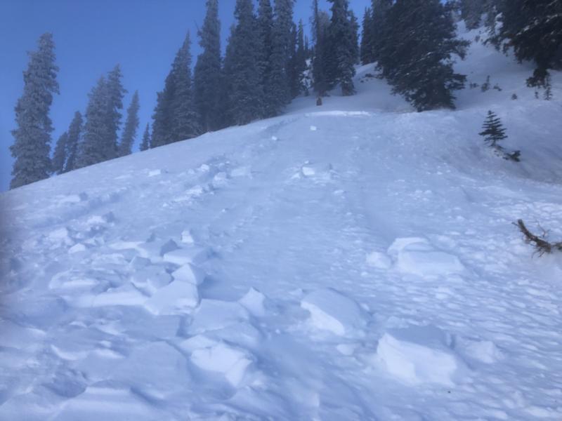
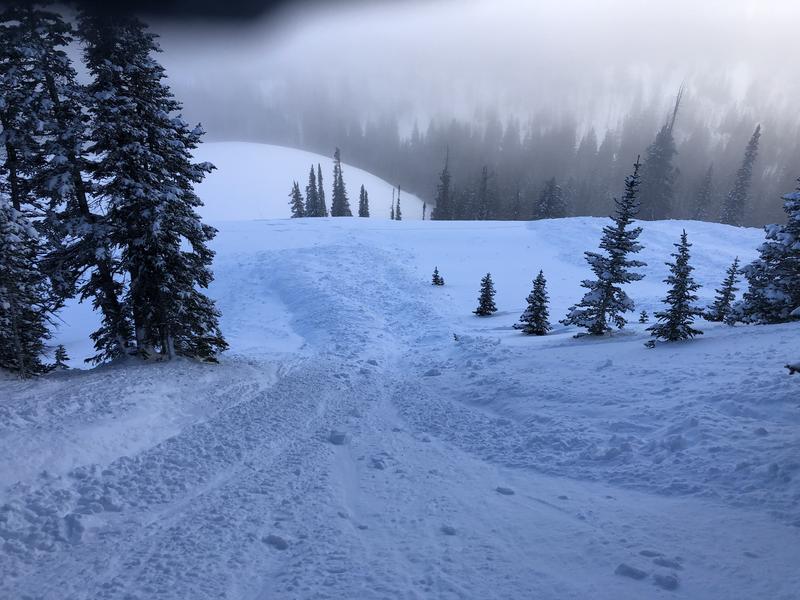
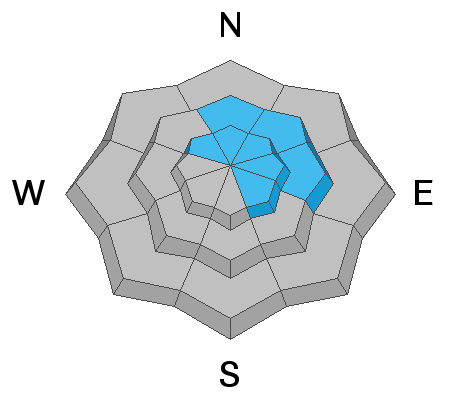
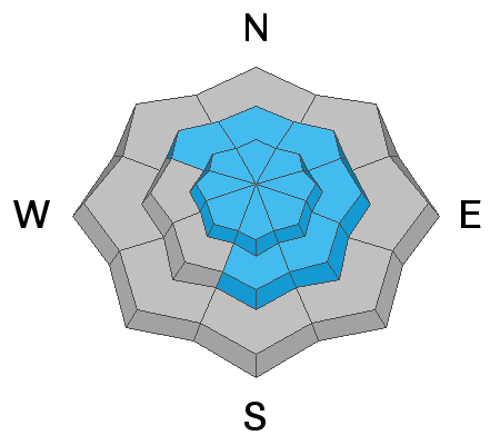
The avalanche danger is a solid MODERATE and tricky avalanche conditions exist. Human triggered avalanches involving wind drifted snow and buried weak layers are possible. Steep, wind drifted slopes right around treeline and above that face N-NE-E are the most likely areas for you to trigger an avalanche up to 18" deep. Wind drifts are recognizable by their smooth, rounded, or rippled appearance. In some areas, a triggered wind slab has the potential to break into a buried persistent weak layer causing a deeper, and more dangerous avalanche. Persistent weak layers have been observed on slopes facing NW-N-S. Backcountry travelers need to have good snow stability analysis skills before considering getting on to steeper terrain.

Low
Moderate
Considerable
High
Extreme
Learn how to read the forecast here