Check out our Holiday Auction

Forecast for the Logan Area Mountains

Toby Weed
Issued by Toby Weed on
Monday morning, April 26, 2021
Several inches of new snow accumulated on upper elevation slopes overnight and continuing snowfall and drifting from westerly winds will cause elevated and increasing avalanche danger today. People could trigger shallow soft slab avalanches of fresh wind drifted snow on steep upper elevation slopes. Loose wet avalanches entraining today's new snow will become likely on steep slopes when the sun comes out in the next couple days.
EVALUATE SNOW AND TERRAIN CAREFULLY
Low
Moderate
Considerable
High
Extreme
Learn how to read the forecast here
Weather and Snow
4-26-2021: Several inches of new snow fell overnight and snow will continue to stack up today on upper elevation slopes. South winds drifted the fresh snow into lee slope deposition areas overnight, and westerly winds today will continue to create fresh drifts in and around upper elevation terrain features like sub-ridges, scoop, gullies, and cliff bands. The avalanche danger is rising today and people could trigger shallow soft slab avalanches of wind drifted fresh snow or long running loose avalanches called sluffs on steep mountain slopes.
We are certainly in a drought and there is much less than average snow in the mountains, but nice nice spring snow conditions exist currently in the Logan Zone. Although conditions generally become more predictable in the spring, avalanches are still quite possible in steep terrain, and people should always evaluate the snow and terrain carefully when traveling in the mountains.
Recent Avalanches
No new avalanches were reported or observed recently in the Logan Zone.
Ad
Avalanche Problem #1
Wind Drifted Snow
Type
Location
Likelihood
Size
Description
  • Avoid drifts on the lee side of major ridges and in and around terrain features like sub ridges, gullies, and cliff bands.
  • Soft slab avalanches of drifted fresh snow can be easy for people to trigger if the fresh snow does not bond well to the warm older melt-freeze snow surface.
Like big mouse traps, harder wind slabs have a nasty way of allowing people to get out on them before releasing.

​​​​​​​
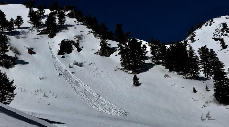
This avalanche of wind drifted fresh snow was triggered by skiers on 4-17-2021, on Box Elder Peak in the Wasatch Range.
Avalanche Problem #2
Wet Snow
Type
Location
Likelihood
Size
Description
Wet loose avalanches or sluffs entraining new snow will become likely this week in steep terrain due to seasonal warmth and intense late Spring sun. Solar warming from the high angled sun later in the week will probably cause today's fresh snow to become moist and sticky, and natural and human triggered wet loose avalanches will become likely on very steep sunny slopes.
  • Wet loose avalanches are generally manageable, but can certainly be a problem because of terrain traps, or of course, if people find themselves below an avalanche.
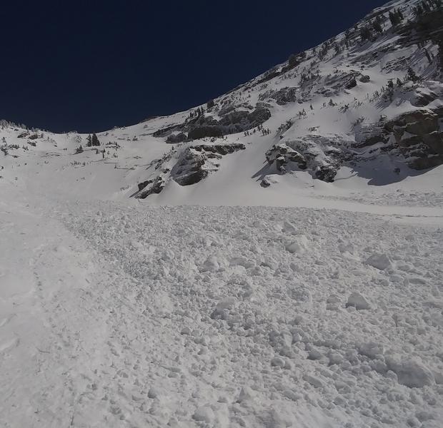
  • Some wet loose avalanches entraining all the recent snow could create large piles of cement-like debris, especially on long steep slopes.
Additional Information
General Spring Travel Advise:
As daytime temperatures rise, softening the snow, the danger of wet avalanches will increase, so its a good idea to get in the habit of an early start and to plan on heading down before things get too sloppy.
-Watch for trees or other terrain traps below you if you venture onto steep slopes.
-Fresh snow can rapidly become moist, sticky, and unstable due to seasonal and solar heating.
-Roller balls, pin-wheels, and natural wet avalanche activity are red flags indicating potential for people to trigger wet avalanches.
-If you start sinking deeply into wet snow, or if the snow you are traveling on becomes unsupportable due to the heat, it's time to leave.
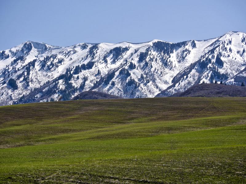
We found good access and stable snow last week in the Wellsville Mountain Wilderness.
General Announcements
EMAIL ADVISORY. If you would like to get the daily advisory by email you subscribe HERE.
Remember your information can save lives. If you see anything we should know about, please help us out by submitting snow and avalanche observations....HERE. You can also call us at 801-524-5304, email by clicking HERE, or include #utavy in your Instagram, or @UAClogan on Twitter. We will continue to post your backcountry observations through the spring....
This forecast is from the USDA Forest Service, which is solely responsible for its content. The forecast describes general avalanche conditions and local variations always occur.