Forecast for the Logan Area Mountains

Issued by Toby Weed on
Saturday morning, April 10, 2021
Saturday morning, April 10, 2021
The avalanche danger is LOW in the backcountry. Avalanches are generally unlikely, but people still might trigger shallow wind slab avalanches on very steep upper elevation slopes facing north, and loose wet avalanches or sluffs entraining moist surface snow are possible later today in some sunny terrain.
USE NORMAL CAUTION

Low
Moderate
Considerable
High
Extreme
Learn how to read the forecast here
 Special Announcements
Thank you to everyone who helped make our Spring Campaign a huge success. We are grateful for your donations and what they will allow us to accomplish next season. We look forward to continuing to serve you with our forecasting, education, and awareness programs in new and exciting ways.
 Weather and Snow
It's 31°F this morning at the 8400' Tony Grove Snotel, and there is 51"of total snow containing only 62% of normal SWE. Winds from the southwest increased early this morning at the CSI Logan Peak weather station and are now blowing close to 30 mph, and it's 29°F at 9700'.
The sun will be out in full force again today, and it looks like fair spring weather will last through the weekend. High temperatures at upper elevations will top out a little above 40°F today, and increasing winds from the southwest will blow across the ridges. The hairdryer winds and cooling from evaporation will probably help to keep the snow surface firm, but they will do nothing to slow the melt-off. It will be a clear night tonight, with mountain temperatures dropping nicely into the teens and westerly winds diminishing a bit and veering from the north after midnight. The sun will be out, but it will be much cooler tomorrow with high temperatures around 31°F. Monday will be sunny and warmer, but the weather for much of next week looks cool, moist, and unsettled with many periods of snow showers....

The mountains of the Wellsville Mountain Wilderness reflected in the Little Bear River, 3-7-2021.
Avalanche Problem #1
Normal Caution
Type
Location

Likelihood
Size
Description
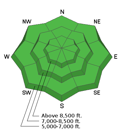
- As the snow surface warms under the high angled spring sun today, wet loose avalanches entraining moist new snow from earlier in the week will be possible. These will entrain moist surface snow, should be both predictable and manageable, but might produce pretty big piles of heavy debris on sustained steep slopes.
- Several inches of new snow accumulated on upper elevation slopes earlier in the week, and winds deposited shallow slabs near ridge tops and in and around terrain features like gullies, sub-ridges, and cliff bands. It is possible people could trigger avalanches of wind drifted snow on very steep slopes or in extreme terrain at upper elevations.
Additional Information
General Spring Travel Advise:
As daytime temperatures rise, softening the snow, the danger of wet avalanches will increase, so its a good idea to get in the habit of an early start and to plan on heading down before things get too sloppy.
-Watch for trees or other terrain traps below you if you venture onto steep slopes.
-Roller balls, pin-wheels, and natural wet avalanche activity are red flags indicating potential for people to trigger wet avalanches.
-If you start sinking deeply into wet snow, or if the snow you are traveling on becomes unsupportable due to the heat, it's time to leave.


More dust was blown onto the snow surface by strong northwest winds Thursday evening. Dust from previous events is a significant player in the early melt-down this spring.

The dust melted through the shallow new snow already in most mid elevation terrain and the snow surface is rough and mottled.

With all the dust and a snowpack with well below average SWE, Beaver Creek is melting out a few weeks earlier this spring than it did last spring.
General Announcements
EMAIL ADVISORY. If you would like to get the daily advisory by email you subscribe HERE.
Remember your information can save lives. If you see anything we should know about, please help us out by submitting snow and avalanche observations....HERE. You can also call us at 801-524-5304, email by clicking HERE, or include #utavy in your Instagram, or @UAClogan on Twitter.
We will update this forecast by around 7:30 Monday morning.
This forecast is from the USDA Forest Service, which is solely responsible for its content. The forecast describes general avalanche conditions and local variations always occur.


