Thank you to everyone who helped make our Spring Campaign a huge success. We are grateful for your donations and what they will allow us to accomplish next season. We look forward to continuing to serve you with our forecasting, education, and awareness programs in new and exciting ways.
About an inch of dusty yellow snow fell and was drifted into camouflage patterns of white and yellow at upper elevations by Monday's strong winds. It's 16°F and there is 65 inches of total snow containing only 74% of normal SWE at the 8400' Tony Grove Snotel. I'm reading 11°F and west winds are blowing around 20 mph at the 9700' CSI Logan Peak weather station. Cold temperatures have solidly set up the snow which had become warmed, softened, and saturated over the weekend. A high pressure system will build into the region this week, and mountain temperatures will rise dramatically each day through Saturday when 9000' temperatures could be close to 60°F !

Spring has hit the Cache, and we expect mountain temperatures to soar this week as a strong high pressure system sets up over the region.
Avalanche problems today will be limited to shallow and stiff wind slabs at upper elevations from Monday's wind, and perhaps some small wet loose activity on very steep slopes near cliffs. The more immediate problem for mountaineers and riders will be "slide for life" conditions on sunny slopes that have solidly refrozen with a hard smooth surface. If you plan an alpine adventure, you should bring your ice ax and crampons and know how to self-arrest. Many slopes will not soften up enough for me to try to ride on a sled today.
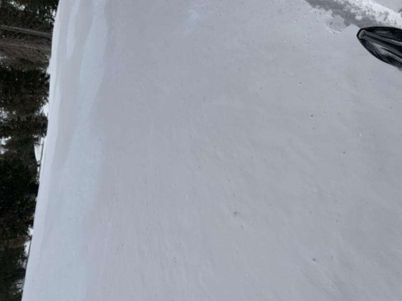
Camouflage patterns of white and yellow (1" dusty new snow) at upper elevations created by Monday's strong winds.


