Forecast for the Logan Area Mountains

Issued by Toby Weed on
Monday morning, March 30, 2020
Monday morning, March 30, 2020
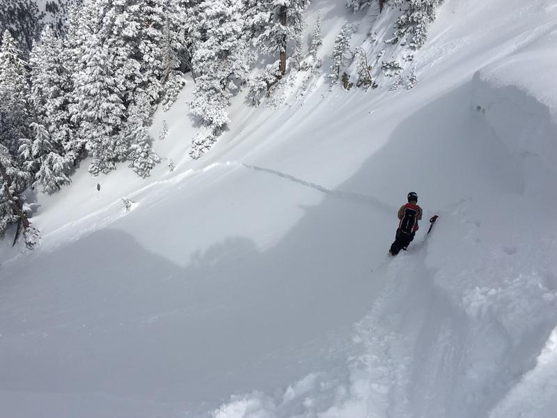
Although the avalanche danger is LOW in most terrain this morning, areas with heightened conditions exist, there's MODERATE danger, and it's still possible for people to trigger 1 to 2 foot deep soft slab avalanches of drifted snow on steep upper elevation slopes. Loose wet avalanches could become possible in the heat of the day.
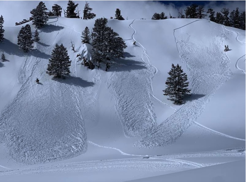
Significant accumulations of new snow and drifting from southwest winds tonight and tomorrow will cause increasing danger, and dangerous avalanche conditions may develop on some steep slopes in the backcountry.
Significant accumulations of new snow and drifting from southwest winds tonight and tomorrow will cause increasing danger, and dangerous avalanche conditions may develop on some steep slopes in the backcountry.
- Evaluate the snow and terrain carefully.

Low
Moderate
Considerable
High
Extreme
Learn how to read the forecast here