Forecast for the Logan Area Mountains

Issued by Toby Weed on
Saturday morning, March 30, 2019
Saturday morning, March 30, 2019
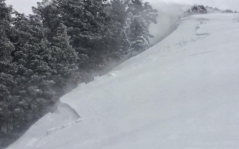
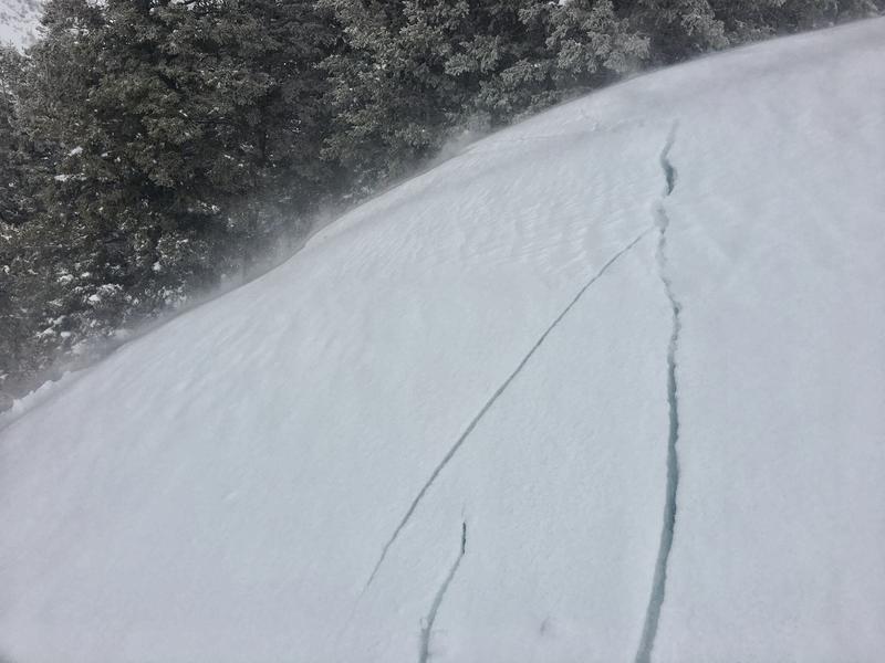
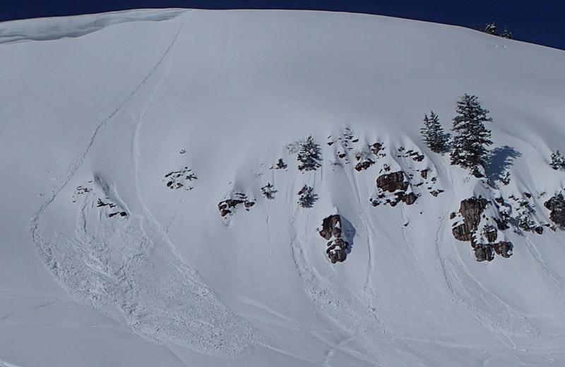
MODERATE: Human triggered avalanches of wind drifted new snow, 1 to 2 feet deep, are possible on many upper and mid elevation slopes. Rapid warming and Spring sun today will cause the new snow to become saturated, which will create heightened wet avalanche conditions. Natural and triggered wet loose avalanches entraining cement-like piles of saturated new snow will become increasingly possible as temperatures rise. Evaluate snow and terrain carefully.

Low
Moderate
Considerable
High
Extreme
Learn how to read the forecast here