
Forecast for the Logan Area Mountains

Issued by Toby Weed on
Wednesday morning, March 19, 2025
Wednesday morning, March 19, 2025
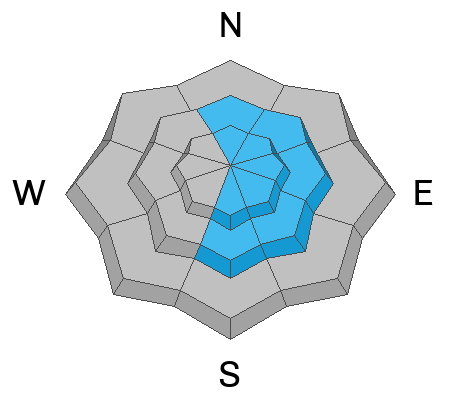
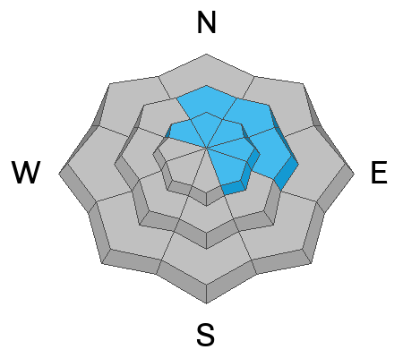
There is CONSIDERABLE avalanche danger, and people are likely to trigger avalanches on drifted upper and mid-elevation slopes steeper than 30 degrees. Large cornice falls, avalanches of wind-drifted snow up to 3 feet deep, soft slab avalanches of new snow, and loose wet avalanches are possible.
- Avoid steep, drifted slopes and stay well away from and out from under overhanging cornices.
- Make conservative choices and evaluate the snow and terrain carefully.

Low
Moderate
Considerable
High
Extreme
Learn how to read the forecast here

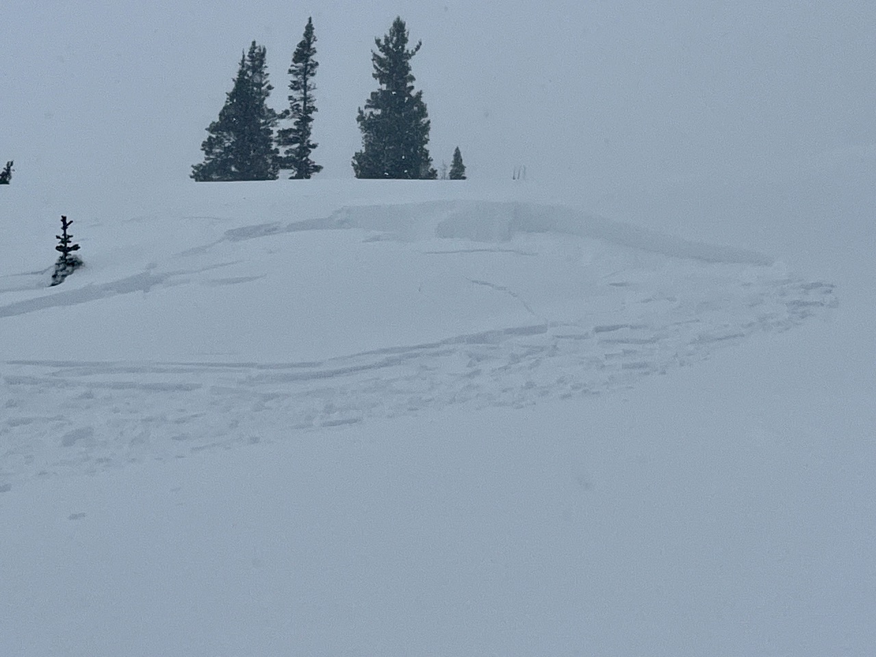 Yesterday, a party in Bunchgrass remotely triggered a 18" x 20' wind slab from 40 feet below that cracked out but did not run more than a few inches because the slope was not steep enough to slide.
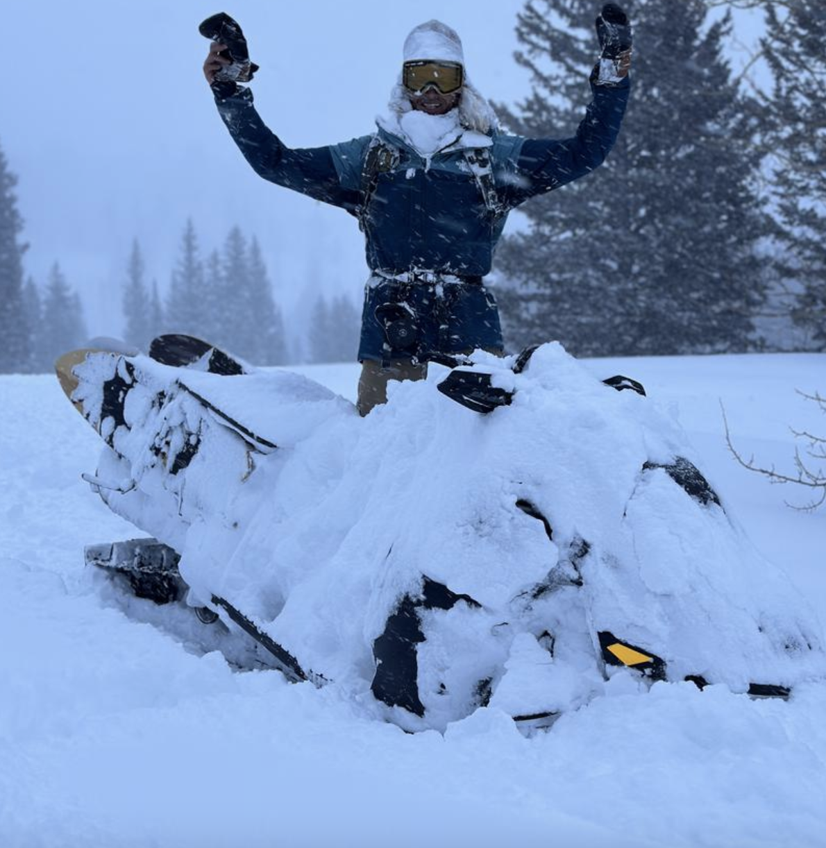 Some riders found excellent deep powder riding conditions in the meadows and on lower-angled slopes yesterday.


