Forecast for the Logan Area Mountains

Issued by Toby Weed on
Wednesday morning, March 18, 2020
Wednesday morning, March 18, 2020
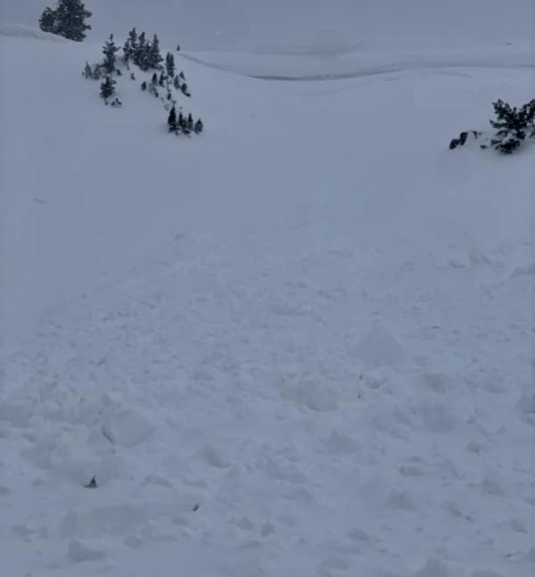
A few inches of heavy new snow overnight and drifting from increasing south winds created heightened avalanche conditions and MODERATE danger on upper elevation slopes. People could trigger shallow slab avalanches of wind drifted new snow on steep slopes and/or large cornice falls on the lee side of major ridges. Loose avalanches of moist new snow are possible in steep terrain. Rain fell on the snow last night, and warm daytime temperatures could create potential for avalanches of wet snow on very steep lower and mid elevation slopes.
- Evaluate snow and terrain carefully.

Low
Moderate
Considerable
High
Extreme
Learn how to read the forecast here