The UAC is currently working with the operation involved in last Thursday's fatal avalanche in the Uintas to prepare a report. Please be patient as we sort out the details of this complicated incident. A preliminary report is available
HERE.
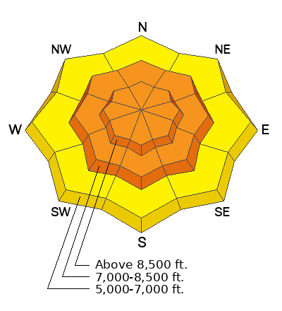
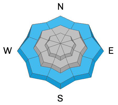
Overnight temperatures dropped well below freezing and the surface of the rain saturated snow at lower elevations is solidifying. Around a foot of heavy new snow accumulated on upper elevation slopes with this week's storm, drifted by southwest and westerly winds. Expect to find dangerous conditions in drifted terrain, with avalanches of wind drifted snow, 1 to 3 feet deep and more than 100' wide likely. People should stay well away from and out from under huge and unstable cornices on the ridge-lines.
The 8400' Tony Grove Snotel reports 11 inches of heavy new snow from yesterday's warm and windy storm. It's 14° F this morning, and there is 133 inches of total snow. The wind is blowing from the north-northwest around 15 mph at the 9700' CSI Logan Peak weather station.
Here is the NWS point forecast for high elevations in the Central Bear River Range:
Today: Sunny, with a high near 26. Wind chill values as low as -1. Northeast wind 10 to 13 mph.
Tonight: Mostly clear, with a low around 8. Wind chill values as low as -8. East wind 9 to 14 mph.
Friday:Sunny, with a high near 27. Wind chill values as low as -6. East southeast wind 8 to 14 mph
We'll see fair weather and sun through the weekend and clouds with snow showers for the first half of next week.


