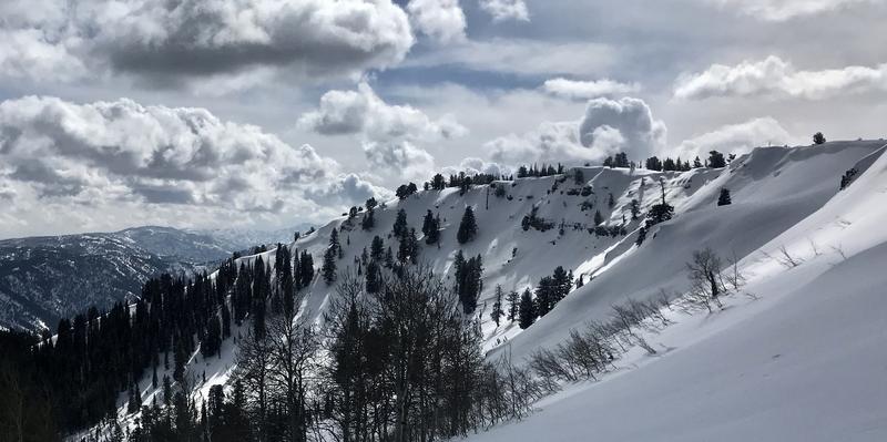
It's a cool 19°F this morning at the 8400' Tony Grove Snotel, and there is 71 inches of total snow and 82% of normal SWE. East winds increased again overnight and are currently blowing 36 mph and gusting near 50 mph at the CSI Logan Peak weather station, and its 13°F with a -10°F wind chill at 9700'. We're expecting a chance of snow showers again today, mostly sunny skies, high temperatures at 8500' around 29°F, steady and fairly strong east winds, and wind chill values as low as -3°F. Cool and unsettled weather will continue through the weekend, with snow showers possible tomorrow, but not much in the way of accumulation likely. Looks like mountain temperatures will warm up a bit on Sunday...
We found nice dust-on-crust and smooth shallow powder conditions at upper elevations on Thursday.
It's been well over a week since any human triggered or natural avalanches failing on our nasty widespread buried persistent weak layer occurred.
A very extensive natural avalanche cycle occurred in mid February and evidence is still apparent across the zone including deep crown lines, large chunks and very long piles of avalanche debris.
Evidence of our widespread natural cycle that occurred in mid-February can still be seen in most areas. Here is a nice one on the north face of Millville Peak.


