Take time this winter to make avalanche education a priority for you and your backcountry partners. Join the UAC's Backcountry 101, Introduction to Avalanches Class this weekend at Powder Mountain. Get more details on the UAC Education page.
The Tony Grove Snotel at 8400' reports about 3 inches of cold snow in the last 24 hours, with .2" SWE. The station recorded a couple feet of heavy snow containing 3.7" of SWE in the past 5 days. It's 3º F this morning and there's 75" of total snow containing 98% of average SWE for the date. It's -4º F, at the 9700' CSI Logan Peak weather station. West-northwest winds are currently averaging around 20 mph.
A cold Pacific storm system will exit the region this morning. High pressure aloft will follow for the latter half of the week. Another potent storm is expected late this weekend into early next week. Today in the Logan Zone, it'll be partly sunny in the mountains, with temperatures at 8500' expected to be around 15º F, and 15 to 20 mph west-northwest winds decreasing in the afternoon. Tonight, temperatures will fall to around -4º F and 10 mph southwest wind will cause wind chills around 19º F below zero. It'll be partly sunny tomorrow with high temperatures near 19º F and 10 to 15 mph south-southwest winds.
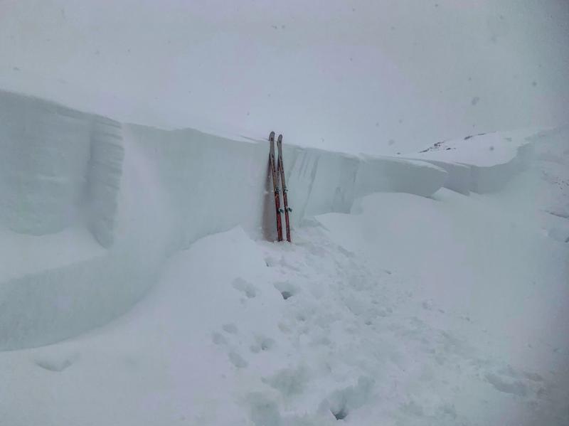
Poor visibility has prevented views of suspected recent natural activity in the Logan Zone, but I bet there has been some. I noticed fairly extensive natural loose new snow avalanching had occurred on steep slopes on the west side of Tony Grove Lake, but poor visibility prevented views of the high country. Please report any more natural activity as it becomes visible...
It has been active in the last few days across the state. Recent avalanche reports are on our avalanche page... HERE
Large, deep hard slab avalanches like this natural on the Wasatch Crest ridge above Park City are possible in some areas where heavy drifted new snow overloaded buried persistent weak layers.