Check out our Holiday Auction

Forecast for the Logan Area Mountains

Toby Weed
Issued by Toby Weed on
Saturday morning, February 5, 2022
The snow is stable, the avalanche danger LOW, and avalanches are unlikely in the backcountry. Watch for and avoid recently drifted snow on steep slopes at upper elevations.
  • Use normal caution.

Now is a great time to take advantage of nice weather and stable snow in the backcountry, so get out there and explore the mountains with your family and friends.
Low
Moderate
Considerable
High
Extreme
Learn how to read the forecast here
Special Announcements
Thanks to the generous support of our local resorts and Ski Utah, discount lift tickets are now available. Support the UAC while you ski at the resorts this season. Tickets are available HERE.
Weather and Snow
Without significant snow in nearly a month, we're finding variable snow surface conditions in the backcountry, which range from soft and shallow recrystallized snow to breakable and bulletproof crusts. Under weeks of high pressure with cold overnight temperatures and clear skies, the snow in many avalanche starting zones has continued to facet and weaken, especially in areas with thin snow cover. Various crusts are complicating matters across the zone, weak layers are developing between them, and we expect this trend to continue. The static and way too dry weather, dominated by the blocking high pressure off the California Coast, will continue through the weekend and next week.
The 8400' Tony Grove Snotel reports 20°F, and there is 67 inches of total snow containing 108% of normal SWE for the date. Winds out of the west-southwest are blowing around 30 mph this morning, with a 50 mph gust reported at the 9700' CSI Logan Peak weather station. A few clouds may cross over the zone today, but it will be mostly sunny, with a high temperature at 8500' around 24°F, moderate west-northwest winds, and wind chill values around -4°F. Tonight, temperatures will drop to around 8°F, with moderate northwest winds. It will be a few degrees warmer, around 28°F, and sunny again tomorrow with a light breeze from the north-northwest.

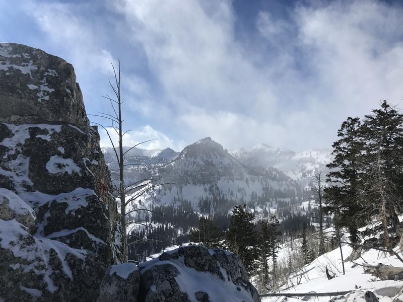
It's been cold, and pretty quiet in the mountains this week...

Although backcountry snow conditions are less than desirable in most places, you can find nice smooth dust-on-crust or shallow "powder" in sheltered areas, and the snow is generally stable across the Logan Zone. We've been finding the best riding conditions on lower-angled slopes in sheltered, shaded terrain. Now is a great time to take advantage of nice weather and LOW danger in the backcountry, so get out there and explore the mountains with your family and friends.
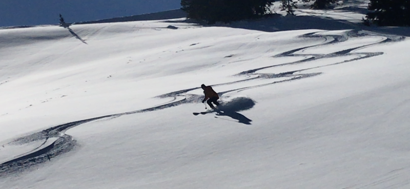
We found some nice shallow powder yesterday in sheltered low angled terrain. Burn Bowl 2-4-2022

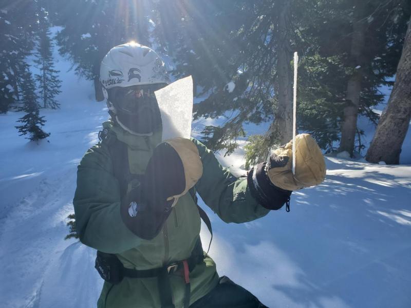
Snow surface conditions are quite varied across the Logan Zone, but crusts of all different types are pretty easy to find. (Flygare, 2-4-2022)
Recent Avalanches
No avalanches were reported recently in the Logan Zone.

Check HERE for all the latest observations and avalanche activity.
Ad
Avalanche Problem #1
Normal Caution
Type
Location
Likelihood
Size
Description
Remember, LOW avalanche danger doesn't mean NO avalanche danger. People still might trigger avalanches in outlying areas or in extreme, isolated, or very steep backcountry terrain.
  • Although unlikely, people might trigger shallow slab avalanches of drifted snow on steep slopes in wind exposed upper elevation terrain. Watch for and avoid stiffer drifted snow at upper elevations on the lee side of major ridges and in and around terrain features like sub-ridges, gullies, and cliff bands.
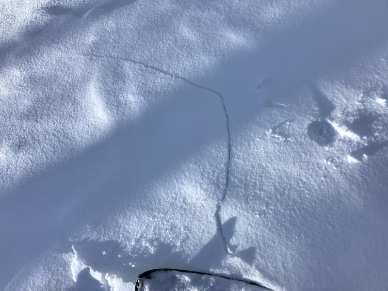
Shooting cracks in wind drifted snow indicate potential for people to trigger slab avalanches.
  • Continue to practice safe travel protocols. Only expose one person at a time in avalanche terrain.
  • Now is a great time to practice your avalanche rescue skills. Thanks to the generous support of Northstar, the Franklin Basin Beacon Training Park is up and running. The park is located directly west of the parking lot and is open for anyone to use. All you need is your beacon and probe. Please do not dig up the transmitters.

Other than avalanches, there are many other hazards in mountain travel to pay attention to.
  • The fresh snow was scoured off of many upper elevation slopes and the remaining surface snow is hard, crusty, and slick - a person could easily slip, fall, and slide out of control rapidly down a steep slope. In some steep areas you'll need to kick your boots into hard snow, you may need crampons to get a grip and an ice axe to self arrest if you fall.
  • A breakable crust could grab a ski and send you "head over tea kettle."
Additional Information
  • Always follow safe backcountry travel protocols. Go one person at a time in avalanche terrain, (anytime while traveling on or under backcountry slopes steeper than 30°) while the rest of your party watches from a safe area.
  • Check your avalanche rescue equipment, change your batteries, and practice often with your backcountry partners.
    Check slope angles, and to avoid avalanche terrain stay off of and out from under slopes steeper than 30° and adjacent slopes. Video Here
General Announcements
Special thank you to Polaris and Northstar...Video Here
Who's up for some free avalanche training? Get a refresher, become better prepared for an upcoming avalanche class, or just boost your skills. Go to https://learn.kbyg.org/ and scroll down to Step 2 for a series of interactive online avalanche courses produced by the UAC.
  • Check out all the upcoming education classes and clinics HERE.
  • Please submit your observations from the backcountry HERE.
This information does not apply to developed ski areas or highways where avalanche control is normally done. This forecast is from the U.S.D.A. Forest Service, which is solely responsible for its content. This forecast describes general avalanche conditions and local variations always occur.