Forecast for the Logan Area Mountains

Issued by Toby Weed on
Sunday morning, February 3, 2019
Sunday morning, February 3, 2019
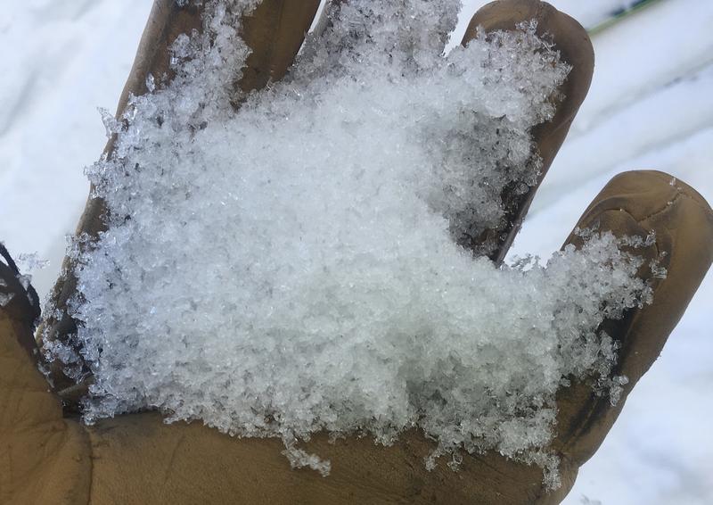
HIGH: Expect rising avalanche danger with heavy snow and continued strong and sustained southwest wind today. Dangerous avalanche conditions exist in the backcountry already this morning as a warm, wet, and windy Pacific storm impacts the Logan Zone. Very strong south winds overnight drifted heavy snow into lee slopes and avalanche starting zones. Rain and warmth at lower and mid elevations saturated the snow and softened crusts. Slopes with buried sugary persistent weak layers are being overloaded by heavy drifted snow, increasing the chances for dangerous deep hard slab avalanches.
- Avoid travel in avalanche terrain today. Stay clear of obvious or historic avalanche paths and run out zones.
- Stay off and out from under steep slopes with rain-saturated or wind drifted snow.

Low
Moderate
Considerable
High
Extreme
Learn how to read the forecast here