Forecast for the Logan Area Mountains

Issued by Toby Weed on
Wednesday morning, February 27, 2019
Wednesday morning, February 27, 2019
CONSIDERABLE: Areas with dangerous avalanche conditions exist at upper elevations. Triggered avalanches of wind drifted snow 1 to 3 feet deep are likely, and natural avalanches are possible. Dangerous conditions are more widespread in the northern Bear River Range. Warmth at lower elevations is causing the surface snow to be saturated, and wet avalanches are possible on steep slopes facing all directions.
- Evaluate snow and terrain carefully, and use extra caution in drifted upper elevation terrain.
- Avoid and stay out from under large ridge top cornices and steep slopes with wind drifted or warm saturated snow.

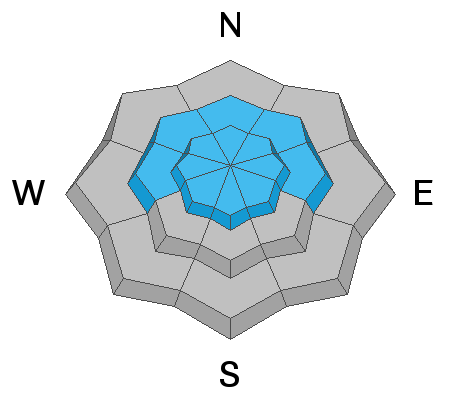
Low
Moderate
Considerable
High
Extreme
Learn how to read the forecast here