Check out our Holiday Auction

Forecast for the Logan Area Mountains

Toby Weed
Issued by Toby Weed on
Monday morning, December 6, 2021
Avalanches remain unlikely today, possible only on steep drifted slopes in exposed upper elevation terrain. The avalanche danger will increase this week as snow starts to accumulate and is drifted onto steep slopes with poor snow structure.
  • Remember to always follow safe travel protocols. Go one person at a time in avalanche terrain, while the rest of your party watches from a safe area.
  • Check your avalanche rescue equipment, change the batteries on your beacons, and practice with your backcountry partners.
We will update this forecast as conditions warrant.
Low
Moderate
Considerable
High
Extreme
Learn how to read the forecast here
Special Announcements
Join us tomorrow on Tuesday, Dec 7th at 6 pm at The Cache for the 18th Annual Pray for Snow Party and Fundraiser. There'll be live music from the Highline Drifters, Lucky Slice pizza, a silent auction and a drawing of awesome donated items. All proceeds benefit avalanche education, awareness, and forecasting in the Logan zone. Buy your tickets online today and save $5. If you can't join us in person, you can still bid on items in the auction by simply registering. Click HERE for tickets and more information.
  • Check out all the upcoming education classes and clinics HERE.
  • Please submit your observations from the backcountry HERE.
Weather and Snow
Finally, it looks like some snow is on the way. The National Weather Service forecasts 4 to 8 inches of accumulation on upper elevation slopes in the Logan Zone today and tonight, and unsettled weather will continue through the week. Confidence is growing that a more significant storm will impact the mountains of Utah Wednesday night and Thursday.
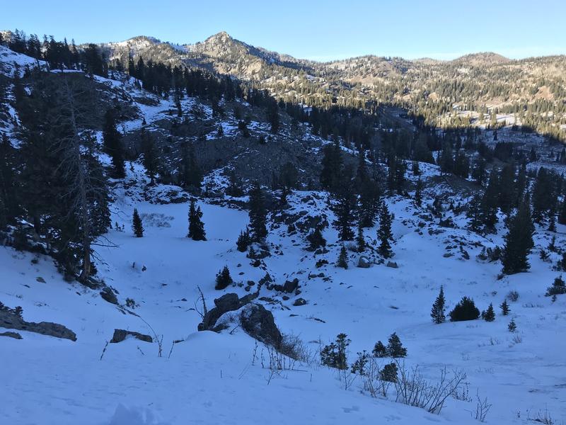
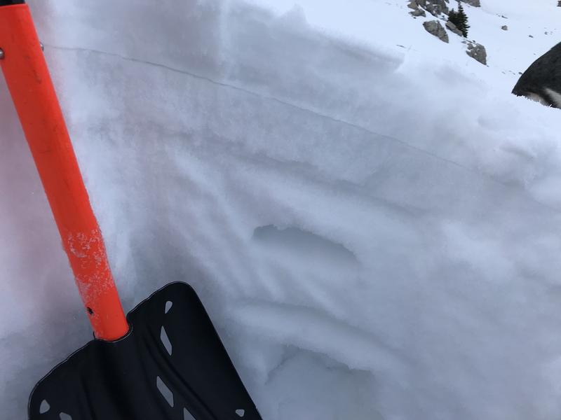
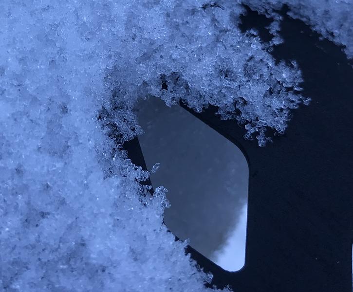
At the highest elevations in the Logan Zone few inches of loose sugary faceted snow is capping a very hard rain crust that formed on 11-12-2021. This weekend, steep slopes were still difficult to travel on due to the slick crust.
A few inches of sugary faceted snow is capping a slick and solid rime ice-crust at upper elevations in the Central Bear River Range.

Ad
Avalanche Problem #1
Normal Caution
Type
Location
Likelihood
Size
Description
​​​​​​As is usual during periods of dry weather, the snow surface is quite varied across terrain. In shady, or mostly north facing areas up high, a hard rain-crust dominates the shallow snowpack structure. In some areas this is likely become a problem when its buried, a smooth bed surface with a couple inches of very loose faceted snow on top of it.
Additional Information
  • Be very careful, keep your speed down, and stay in control. Encounters with shallowly buried rocks or down trees in the early season have led to many season-ending injuries.
  • The Tony Grove Road is not maintained for wheeled vehicles in the winter season.
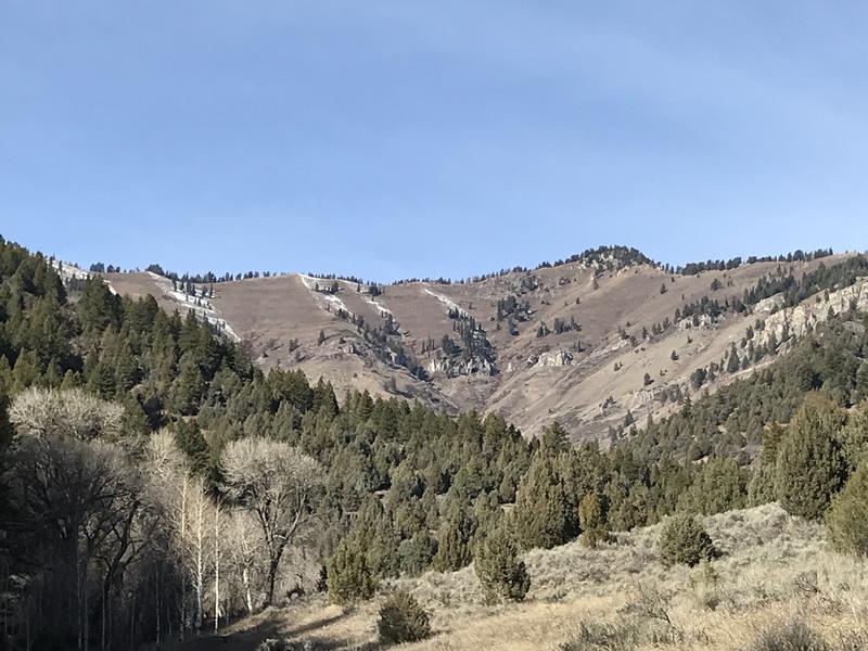
Before snow stacks up this week, I'm keeping track of the many bare and only shallowly covered slopes that will not be plagued by weak October or November snow. (Wood Camp 12-4-2021)