Check out our Holiday Auction

Forecast for the Logan Area Mountains

Paige Pagnucco
Issued by Paige Pagnucco on
Saturday morning, December 23, 2023
The avalanche danger could rise to MODERATE today. Natural avalanches are unlikely but human-triggered avalanches could be possible on freshly wind-drifted steep slopes at upper elevations.
With generally stable snow in the backcountry, avalanches are unlikely, and the danger is LOW in mid and lower-elevation terrain.
Low
Moderate
Considerable
High
Extreme
Learn how to read the forecast here
Weather and Snow
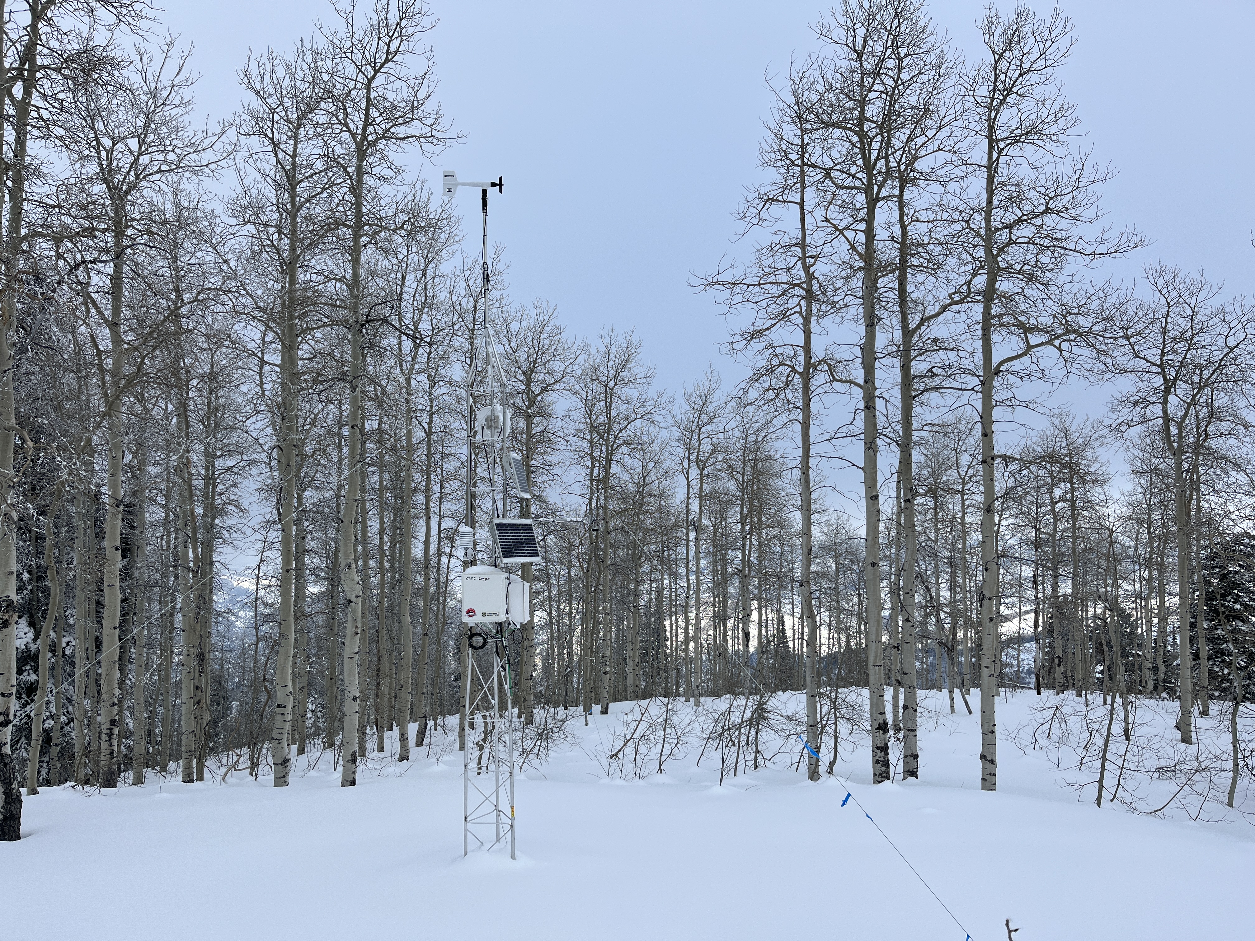
The Tony Grove Snotel at 8400' reports 42 inches of total snow, with overnight temperatures again around freezing. The CSI Logan Peak weather station at 9700' reports 24° F and winds blowing from the southwest 15-20 mph with gusts up to 29 mph. The temperature is 24°F at the new Card Canyon weather station, with 32" of total snow on the ground.
Winter returns! A quick-hitting system will slide east over northern Utah today, bringing a burst of mountain snow and valley rain, changing over to snow during the morning. If we are lucky, the mountains will pick up 3-6" of snow by this evening. Temperatures will start to cool during the afternoon, and overnight lows tonight will be about 3 F. On Sunday, we may have a few flurries, but it will be mostly sunny with a high of 19 F.

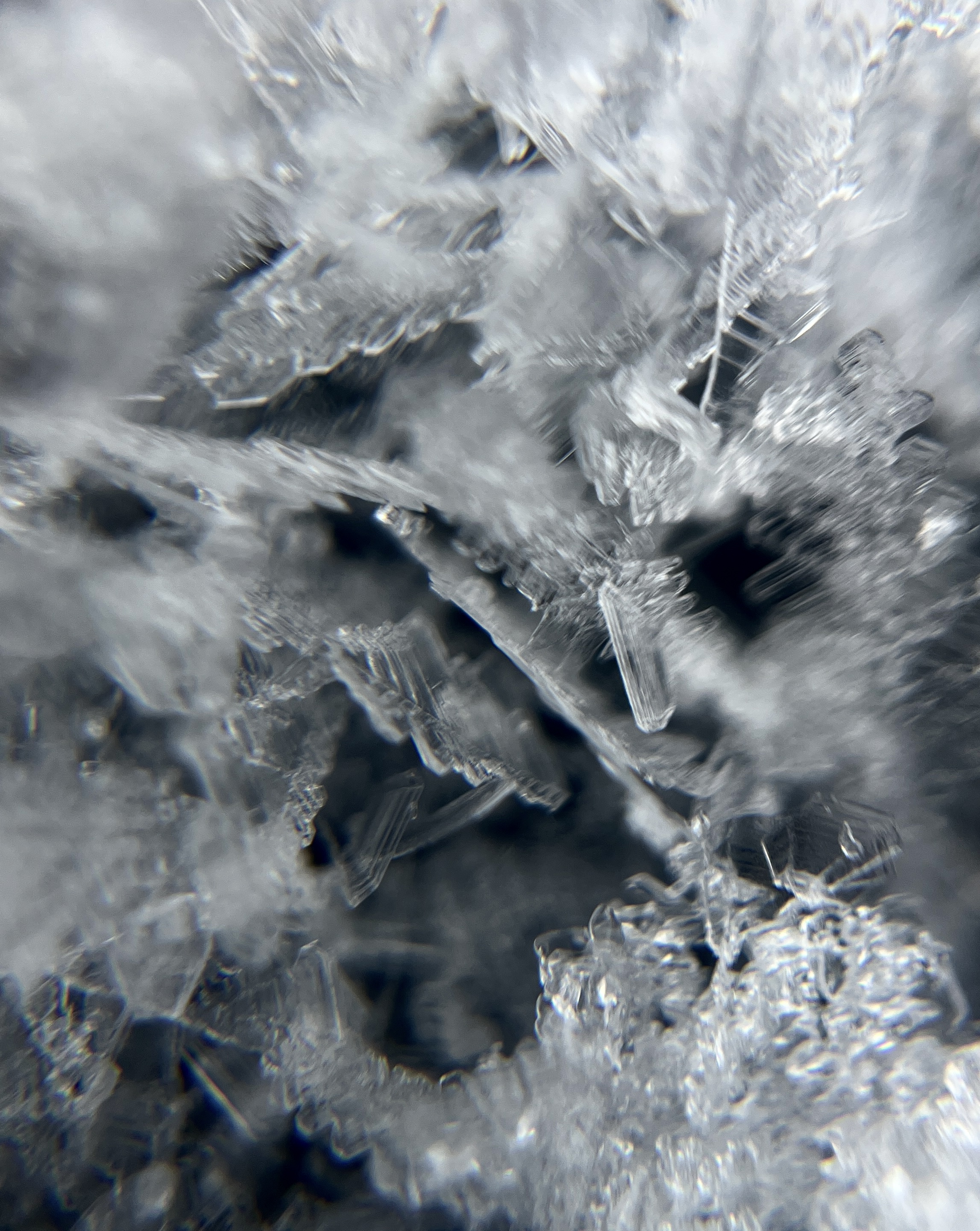
We found stable and variable snow conditions near Garden City Bowls yesterday. Despite the past week's warm temperatures, we found surface hoar and sugary surface snow (consisting of near-surface facets) on shaded east-facing terrain. This was the only place we found soft snow as the south and west aspects were awful - frozen, hard snow and breakable crusts abound. Any new snow will be a welcome refresher.
Recent Avalanches
No recent avalanches were reported in the Logan Zone. On Thursday, snow safety crews triggered a couple of impressive avalanches that ran on the sugary November persistent weak layer near the ground with explosives and a snowcat in Summit County.
  • Local observations are available HERE.
  • Visit our avalanche page to check out this season’s activity across Utah.
Ad
Avalanche Problem #1
Wind Drifted Snow
Type
Location
Likelihood
Size
Description
If the mountains receive the high end of expected snowfall and wind speeds push the top end today, we may see shallow slabs of wind-drifted snow develop in upper-elevation terrain. While the past week's warm temperatures did wonders to mitigate widespread weak surface snow, some may still exist in shaded, sheltered areas. I expect any wind slabs that form today will be shallow and exist mainly near ridgetops and around terrain features like gullies and cliffs.
  • Avoid steep wind-drifted terrain today to avoid this problem.
Avalanche Problem #2
Normal Caution
Type
Location
Likelihood
Size
Description
  • Always follow safe backcountry travel protocols when traveling on or under slopes steeper than about 30°:
  • Be sure everyone in your party has working avalanche rescue equipment, including a transceiver, probe, and shovel. Practice with this equipment regularly, and include and instruct new partners.
  • Cross avalanche paths and runout zones one person at a time, with the rest of the party watching from a safe place.
  • Reevaluate and be willing to change your plans if you encounter apparent signs of instability.
  • Up high on slopes facing west, north, and east, triggering a dangerous avalanche failing on a persistent weak layer is unlikely but remains possible in isolated outlying terrain where a thick hard slab of heavy snow from early December overlies weak, sugary snow from November.
Additional Information
Yesterday, we found better-than-expected soft snow, capped with surface hoar, in the Garden City Bowls area.

This fall, we installed two new weather stations in the Logan Zone. The Paris Peak Weather Station (available HERE) and the Card Canyon Weather Station (available HERE)
The Card Canyon weather station on Red Pine Ridge looks at 8700' total snow depth (with 33” on the ground today).
General Announcements
  • Taking time to check your companion rescue gear and practice with your transceiver is essential. Watch a short video here.
  • IMPORTANT: Read Mark's blog about electromagnetic interference of avalanche transceivers HERE.
  • We will update this forecast tomorrow morning before 7:30 AM.
This forecast is from the U.S.D.A. Forest Service, which is solely responsible for its content. This forecast describes general avalanche conditions, and local variations always occur.