It's 24°F at the 8400' Tony Grove Snotel this morning, and I'm reading 47 inches of total snow, with 111% of average SWE for the date. It's 19°F on Logan Peak, and west winds are blowing around 20 mph.
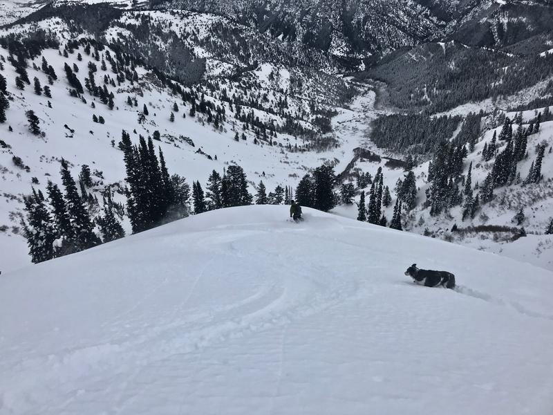
We found very nice, fast powder Wednesday in Wood Camp.
A strong high pressure system will remain entrenched over the zone, mostly fair weather in the mountains and thickening haze in the valleys through the weekend. Expect mostly sunny conditions in the mountains today, with 8500' high temperatures around 31°F, 11 mph southwest winds and wind chills as low as -3°F. It will be mostly clear tonight with low temperatures around 12°F, 9 to 11 mph southwest winds, and wind chills around -2°F. It will be mostly sunny on Saturday, with high temperatures around 34°F, and increasing southwest wind 14 to 18 mph.
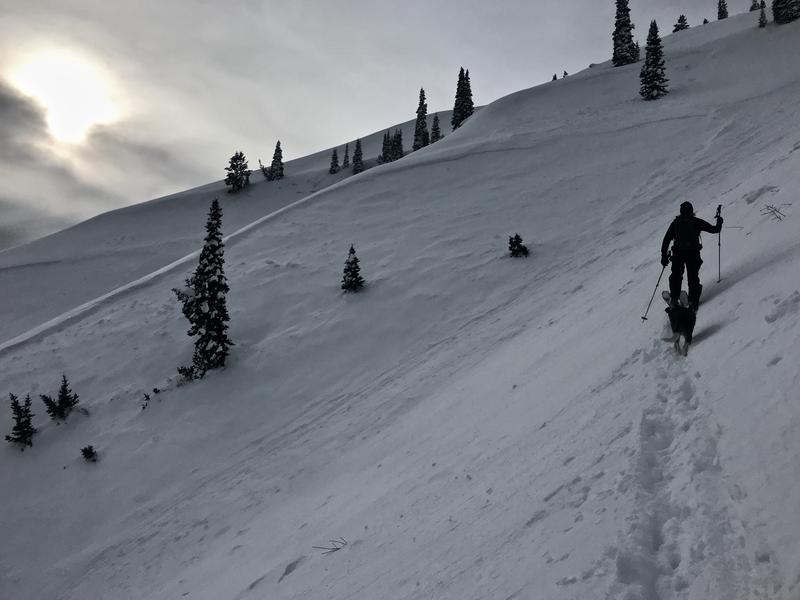
Recrystallized powder conditions are fantastic, even in sunny and lower elevation terrain. Heightened avalanche conditions exist on some drifted upper elevation slopes, and increasing southwest winds over the weekend will make the problem more widespread. Dangerous and destructive avalanches failing on a deep persistent weak layer are becoming rather unlikely, but remain possible on some upper elevation slopes.
I'm sorry to report Utah's first avalanche fatality this season. On Sunday 12-15-19, a 45 year old male snowboarder was killed in a backcountry avalanche in Dutch Draw in the Wasatch Mountains above Park City.
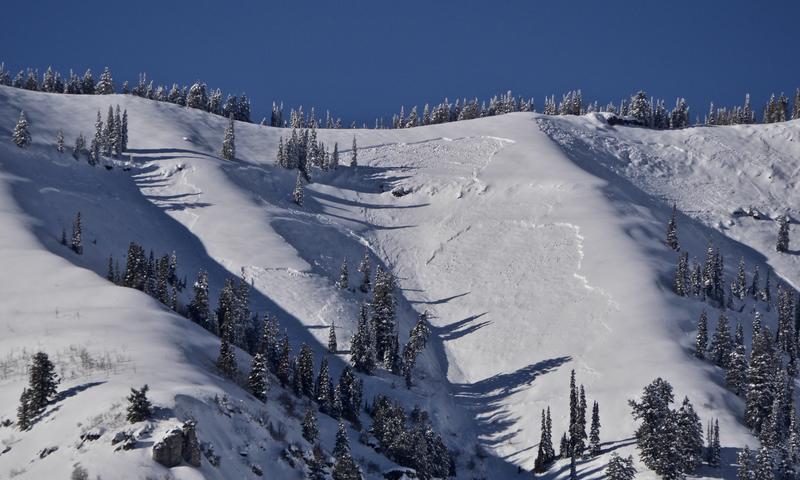
No new avalanches were reported in the Logan Zone since last weekend's natural cycle that occurred during the windy storm. We observed evidence of several large natural avalanches on Sunday. These were generally 3' to 4' deep and a few hundred feet wide, including Miller Bowl, East (above Tony Grove Lake) which took down some trees and ran to the flats. Recent large natural avalanches were also observed in Wood Camp, and on Providence Peak, Naomi Peak, and Cornice Ridge.
A large natural avalanche in the Central Wood Camp Bowls. (12-17-19)