Utah State University Outdoor Programs is hosting a FREE Know Before You Go avalanche awareness presentation (via ZOOM) on Wednesday Dec 2 at 7pm.
Pre-register here.The holiday season is right around the corner!! Looking for that special something for your partner?
Well, we've got an easy shopping solution for you ...Buy your gifts at our Pray for Snow online auction and support the UAC in Logan.
HEREWe're seeing a few snow showers in the mountains this morning and a cold northeast wind. Wind chill values will be around -13°F today at 8500'! Dry conditions will continue into the foreseeable future, with a warming trend at upper elevations for the next few days. Daytime mountain temperatures will be up in the mid forties over the weekend.
Hitting rocks or other shallowly buried obstacles presents a significant hazard. You have to be very careful. Keep your speed down. Stick to smooth grassy slopes and low angled terrain. Most slopes have less than about 2' of total snow, and a steep temperature gradient is turning the shallow snow into loose sugary or faceted grains. The weak snow on the ground is easy to punch through to the rocks below. It will likely become a persistent weak layer at the base of the snowpack on many slopes.
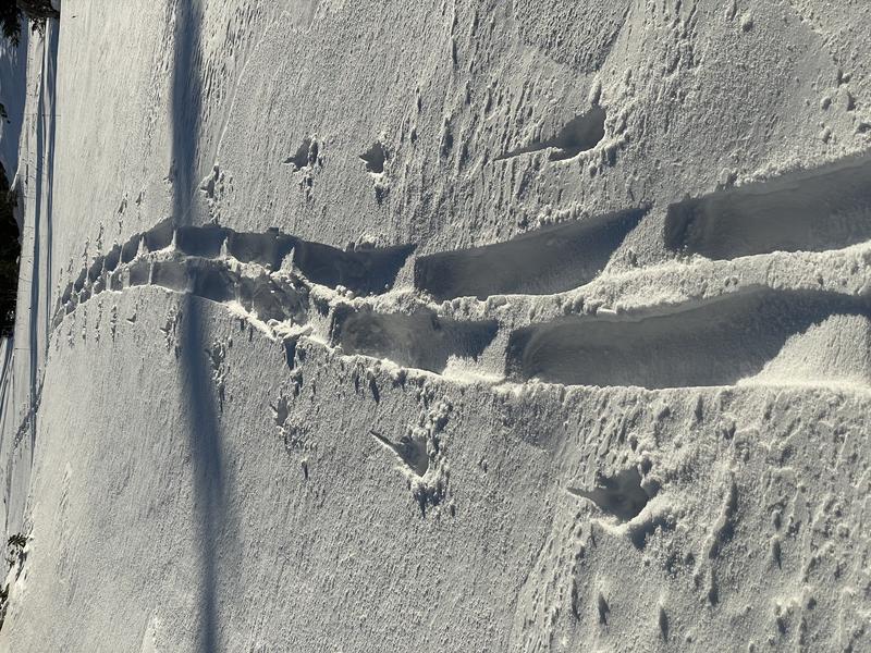
Only an inch or so of new snow this week, and upper elevation winds messed up the snow surface in exposed terrain. You now sink all the way to the ground through sugary snow near rocks and in shallow places.