Join us for our 16th annual Pray for Snow Party, December 4, at The Cache in downtown Logan.
Come join us for an evening filled with good friends, good food, and good music all to support avalanche forecasting, awareness, and education. Music from The Swinging Lights!!!! Lucky Slice will be serving up gourmet slices once again.
Buy your tickets early to save $5! See you there!
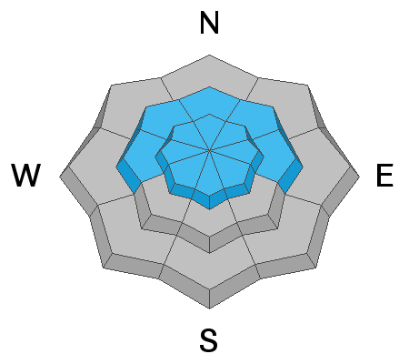
HERE It's 26°F at the 8400' Tony Grove Snotel this morning, and I'm reading 31 inches of total snow containing 6" SWE, which is 94% of normal for the date. The site recorded 2.5" SWE from the Thanksgiving Storm. It's 21°F at the 9700' CSI Logan Peak weather station, and south winds are blowing about 32 mph with a gust of 43 mph. The south winds sustained speeds at around 30 mph all day yesterday and overnight. Dangerous avalanche conditions exist on drifted upper elevation slopes in the backcountry, and human triggered avalanches are likely.
Snow is likely today, but less than an inch of accumulation is expected. High temperatures at 8500' are expected to climb to around 30°F, and southwest winds 11 to 16 mph will continue to drift snow in exposed terrain.
It'll be cloudy in the mountains tonight, with temperatures rising to around 24°F. There is a good chance of some snow, but less than an inch is expected. The wind should veer from the west and blow 10 to 15 mph. It will be cloudy on Tuesday, with a good chance for 1 to 3 inches of snow. It'll be around 30°F, and 7-9 mph westerly winds are expected.
Drew found some windy conditions on Cutler Ridge in the Ogden Mountains yesterday.
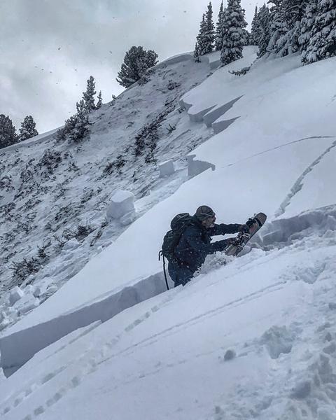
- A natural avalanche involving wind drifted snow was spotted by observers yesterday on the west side of Logan Peak in upper Logan Dry Canyon. The fresh avalanche was about 1 foot deep and 300 feet wide.
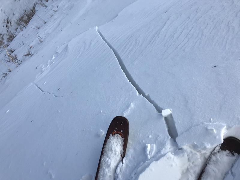
- Numerous human triggered avalanches were reported in the past couple days in the Central Wasatch Range backcountry above Salt Lake and Park City.
Backcountry skiers remote triggered this avalanche from quite a distance in No Name Bowl west of Park City.