Check out our Holiday Auction

Forecast for the Logan Area Mountains

Toby Weed
Issued by Toby Weed on
Friday morning, October 29, 2021
There is just not really enough snow covering the rocks for safe riding or skiing. Avalanches are possible but still unlikely on very steep drifted slopes at the highest elevations in the Bear River Range. Very shallow snow conditions exist in the Logan Zone, and hitting shallowly buried rocks in the early season has led to many season-ending injuries. Now is a good time to check and practice with your teams' avalanche rescue equipment.
  • We will update this forecast as conditions warrant.
Low
Moderate
Considerable
High
Extreme
Learn how to read the forecast here
Special Announcements
Join us, we have lots of upcoming education and events:
The 14th Annual Utah Snow and Avalanche Workshop is virtual again this year and will be held Nov 5th (professional session) and Nov 9th, 10th, 11th evenings (general session) from 6-9pm.
More information about USAW and the speaker lineup is on our Events page HERE.
Check out all the upcoming education classes and clinics HERE.
If you're seeing anything in the backcountry that we should know about, please submit your observations HERE.
Weather and Snow
There is roughly a foot of snow on the ground at upper elevations in the Central Bear River Range on upper elevation north-facing slopes. Other slopes in the Logan area mountains are only covered by a dusting of snow or remain bare. Fair weather is expected this weekend, with increasing clouds and a chance for a few snowflakes Sunday and Monday. Unsettled weather will continue through much of next week, but significant accumulations of snow are not expected at this time.
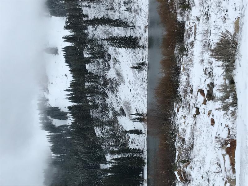
The storm earlier in the week only deposited a few inches of new snow on the rocky terrain surrounding Tony Grove Lake.
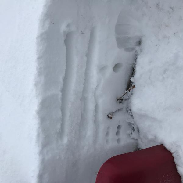
On Wednesday, Paige had a look at the snow in Beginner Bowl, south of Tony Grove Lake, where the deepest deposits of total snow are only around a foot deep.
Ad
Additional Information