Forecast for the Abajos Area Mountains

Eric Trenbeath
Issued by Eric Trenbeath on
Saturday morning, April 3, 2021
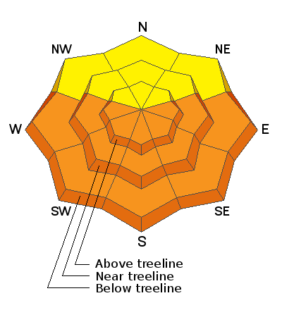
Soaring temperatures will cause the danger for loose wet, or even wet slab avalanches to quickly rise to MODERATE on all sun-exposed slopes. With record temps in the forecast, and with light to no overnight refreezes, the danger could reach CONSIDERABLE later in the day. Signs of instability include rollerballs, pinwheels, and punchy or sloppy unsupportable snow. Timing is everything, work slope aspects according to the sun and get off of and out from under steep slopes as they become wet and sloppy.
Low
Moderate
Considerable
High
Extreme
Learn how to read the forecast here
Special Announcements
The 2021 Spring Awareness Campaign is underway. Help us save lives through avalanche forecasts and education. Consider making a donation to show your support HERE.
Weather and Snow
Snow totals at Buckboard Flat (8924')
Snow totals at Camp Jackson (8858')
Snowpack Discussion
With a light to no overnight freeze, the snow will be punchy and unsupportable this morning and will quickly become sloppy today. As the sun warms things up, the danger for loose wet avalanches will quickly rise on all sun-exposed slopes. Unfortunately, this will be the trend over the next several days. With no overnight freezes and increasingly warmer temperatures each day, a more dangerous and harder to predict wet slab avalanche problem may emerge.
Additional Information
Information on outdoor recreation - The State of Utah created this webpage with information about recreating on both state and federal public lands during the current health crisis.

New to the backcountry (including riding at closed resorts) - Watch the award-winning, 15 minute Know Before You Go video, or take the 5-part, free online-learning series.
General Announcements
This forecast is from the U.S. Forest Service, which is solely responsible for its content. This forecast describes general avalanche conditions and local variations always occur.