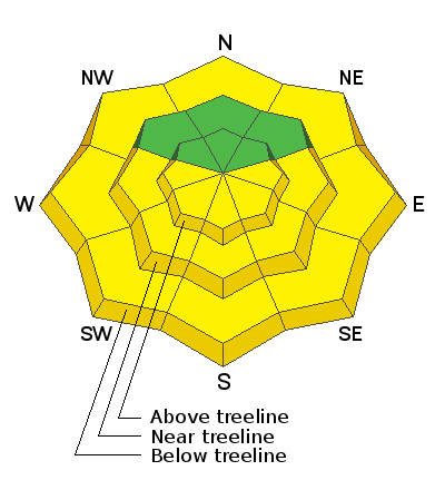
Forecast for the Abajos Area Mountains

Issued by Eric Trenbeath on
Sunday morning, April 14, 2019
Sunday morning, April 14, 2019
The avalanche danger is generally LOW this morning but will rise to MODERATE as the day heats up. Be alert to signs of wet snow instability such as roller balls or pinwheels, and get off of steep slopes as they become wet and sloppy. At the upper elevations, continue to be on the lookout for deposits of wind drifted snow on the lee sides of ridge crests and terrain features. Loose snow sluffs are also still a possibility on very steep slopes of around 40 degrees.

Low
Moderate
Considerable
High
Extreme
Learn how to read the forecast here


