Camp Jackson and Buckboard SNOTEL sites are reporting 5"-7" of new snow since Friday night and this could translate to as much as 8"-10" up high. Today, look for mostly cloudy skies and a chance for snow showers as a mid level low pressure system moves through the region. Westerly winds will be light and high temps will be in the upper teens. We'll see a break on Tuesday, with sunny skies and warmer temps before yet another system moves through Wed-Thu followed by a clear and dry weekend. The mid week storm doesn't look real promising, but long range model runs show precipitation kicking in again next week.
Snowpack
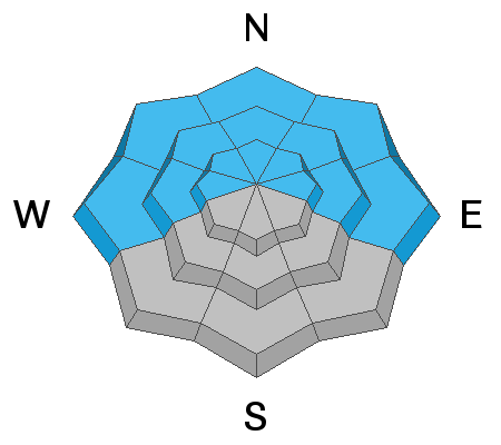
It's not been a huge load of new snow but with the fragile nature of the underlying snowpack, it has been enough for a return to dangerous conditions and human triggered avalanches, 1'-2' are likely. Matt Cozart confirmed as much in his travels yesterday where he experienced collapsing and whumphing, red flag signs of instability. The problem is a buried persistent weak layer of loose, sugary, faceted snow that formed during the extended period of high pressure in Jan-Feb. Starting last week, this weak layer has been getting buried and a slab 1'-2' deep exists on top. New and wind drifted snow has added more stress to this weak layer and all that is needed is a trigger. This problem exists primarily on slopes facing W-N-NE-E with possible outlying problems on upper elevevation slopes facing SE.