
Forecast for the Abajos Area Mountains

Issued by Eric Trenbeath on
Monday morning, March 4, 2019
Monday morning, March 4, 2019
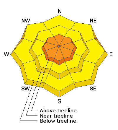
The avalanche danger is CONSIDERABLE and human triggered avalanches involving new and wind drifted snow are likely. Avalanches within the new snow are likely on steep slopes on all aspects at upper elevations. Fresh deposits of wind drifted snow will mostly be found on the leeward sides of upper elevation ridge crests and terrain features on slopes facing NW-N-SE. There also remains an isolated, or MODERATE danger for human triggered avalanches involving a buried, persistent weak layer. You are most likely to encounter this problem on steep, rocky, northerly facing slopes, or in areas with a shallower snowpack. And finally, as the day heats up, avoid steep slopes that become wet and sloppy.
Low
Moderate
Considerable
High
Extreme
Learn how to read the forecast here


