On Monday, March 27, two snowmobilers were riding in the Oquirrh Mountains. One was caught, carried, and fully buried in a very large avalanche. His partner, friends and family, Utah County Search and Rescue, Utah Department of Public Safety, and LifeFlight participated in the rescue, but he sadly did not survive. The preliminary avalanche report can be found
HERE.
Snowpack Summary and General Conditions
Strong southerly winds continue to blow and drift snow creating unstable slabs on leeward slopes near treeline and above. Fresh drifts will become deeper and more widespread as new snow accumulates. The problem will be most pronounced on upper elevation slopes with a north or easterly aspect, but cross-loading may also occur on slopes facing west or southeast. Look for fresh drifting on the leeward sides of ridge crests and terrain features such as gully walls and sub ridges. Shooting cracks in drifted snow are a sure sign of instability. Backcountry travelers should avoid any steep slopes that have recent deposits of wind drifted snow.
2' of heavy, wet snow, driven by winds created dangerous conditions last week producing large, natural, and human triggered avalanches. In my travels over the weekend I found the snow to be gradually stabilizing, but dangerous, human triggered avalanches remain possible. You are most likely to find trouble on steep slopes facing North through East, where strong winds have built slabs 2'-4' deep. Conditions are unusual for this time of year. Cold temperatures and successive storms are creating winter-like conditions in the snowpack and things are not stabilizing as rapidly as they normally would in March and you still need to travel with a high level of avalanche awareness. Avoid steep, wind drifted slopes that have a smooth rounded appearance, and terrain that has steep convexities or blind breakovers.
A skier triggered an
avalanche last Thursday
that was large enough to bury him.
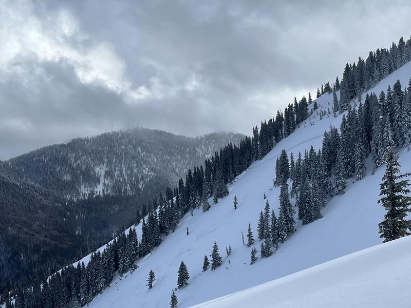
Taylor Martin sent in this report of a
natural avalanche on Horse Head Mountain that occurred last Wednesday. He estimated it to be 2' deep and 250' wide.
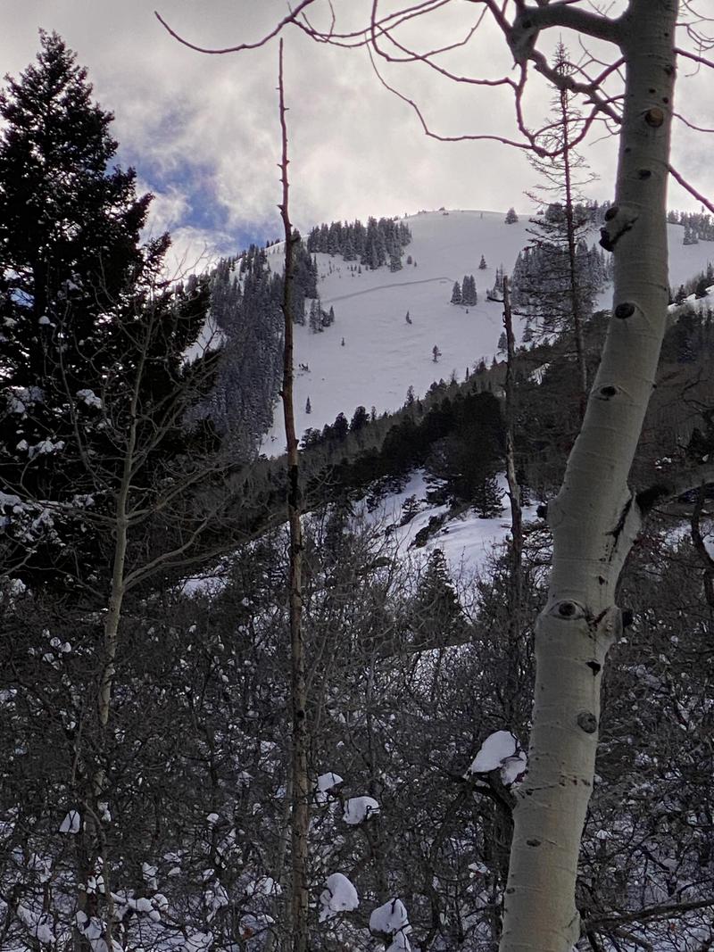
Cory Noonan sent in another view: