Forecast for the Abajos Area Mountains
Issued by Chris Benson on
Tuesday morning, March 2, 2021
Tuesday morning, March 2, 2021
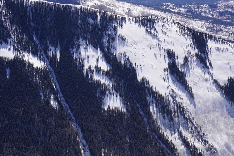
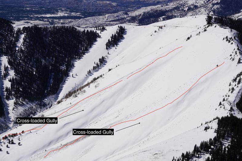
You can still trigger deep and dangerous avalanches on steep W-N-SE aspects and the avalanche danger is a solid MODERATE in these areas. The danger increases with elevation where wind drifted snow has added stress to buried persistent weak layers. Avoid areas where the snowpack is thinner as this is where it is possible to trigger deep and dangerous avalanches. The danger is LOW below treeline, but you can still trigger small avalanches in isolated areas or in extreme terrain.
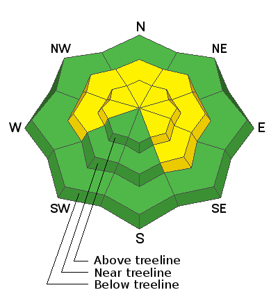
Low
Moderate
Considerable
High
Extreme
Learn how to read the forecast here