Forecast for the Abajos Area Mountains

Eric Trenbeath
Issued by Eric Trenbeath on
Tuesday morning, February 25, 2020
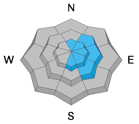
Strong northwest winds since Sunday night have blown and drifted snow and the avalanche danger remains MODERATE on steep, wind drifted slopes. Slopes with an easterly component are the most suspect. Recent drifts are recognizable by their smooth rounded appearance and cracking is a sign of instability. Most non-wind affected slopes have generally LOW danger.
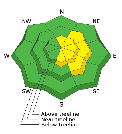
Low
Moderate
Considerable
High
Extreme
Learn how to read the forecast here
Special Announcements
Brett Kobernik from the Manti-Skyline will be paying a visit and he'll be handling the forecast for the next couple of days while I'm over in the San Juans. Thanks Brett!
The UAC's Avy Awareness Auction is currently underway with tons of great gear, jewelry, artwork and experiences available. Visit the auction page here to help support the UAC's spring avalanche awareness and outreach efforts.
A new version of the UAC IOS application is now available on the Apple App Store. This version fixes many of the issues that occur when running IOS 13.
Weather and Snow
The weekend storm delivered a much needed shot of new snow to the mountains. Though only 3" was recorded at Camp Jackson and Buckboard Flat, up to 6" fell up around North Creek Pass. NW winds began to increase Sunday afternoon and they cranked all day yesterday in the 25-35 mph range with gusts into the mid 40's. They'll continue to be blustery today. Skies will be mostly sunny and high temps will be in the mid-teens. Factor in the wind chill and it will be downright frigid up there today. Dry weather and gradually warming temperatures will be the trend through Saturday.
Kevin Dressel was up on Sunday and reported that conditions were greatly improved. Read his observation here. Unfortunately, winds will have had a detrimental effect on the snow surface and you'll need to stick to sheltered terrain today.
Snow totals at Buckboard Flat (8924')
Snow totals at Camp Jackson (8858')
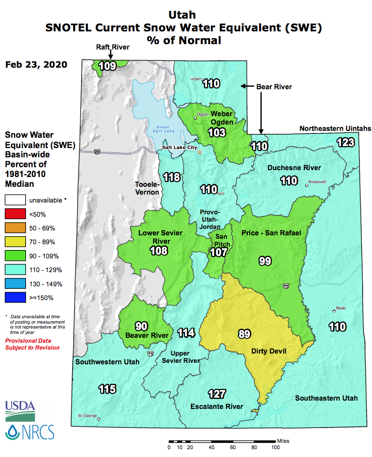
We are still at more than 100% of normal snowpack for SE Utah!
Recent Avalanches
Avalanche Problem #1
Wind Drifted Snow
Type
Location
Likelihood
Size
Description
Starting Sunday night, moderate to strong NW winds have been blown and drifted snow on to the leeward sides of ridge crests and terrain features in wind-exposed terrain. Slopes with an easterly component are the most likely areas of concern. Recent drifts will be more stubborn to trigger today but they may still be sensitive where they are overlying loose, recrystallized snow.
General Announcements
This forecast is from the U.S. Forest Service, which is solely responsible for its content. This forecast describes general avalanche conditions and local variations always occur.