Forecast for the Abajos Area Mountains

Eric Trenbeath
Issued by Eric Trenbeath on
Saturday morning, February 22, 2025
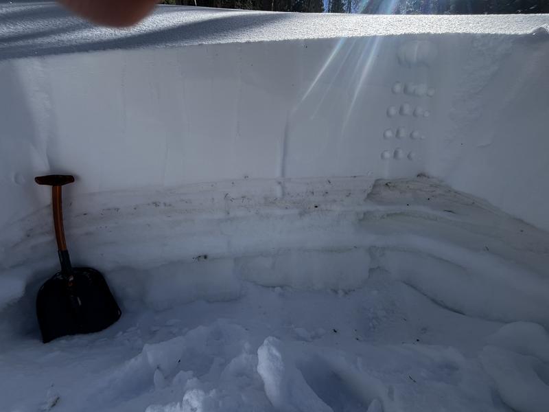
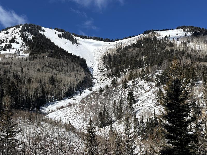
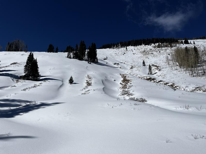
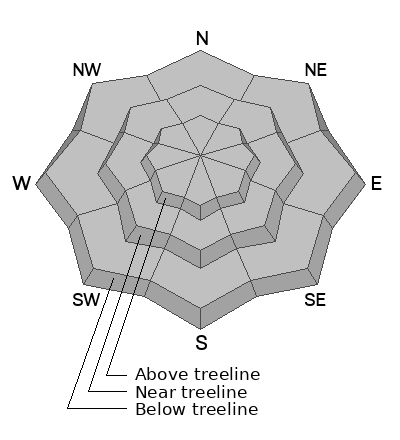
Human triggered avalanches remain possible but are not likely. The danger is greatest on steep, northerly aspects that held snow prior to the Feb 14 storm. In these areas, a dense, cohesive slab exists over top of weak, sugary snow underneath. This is an unstable snowpack structure. Minimize your risk by avoiding slopes steeper than 30 degrees in these areas.
Low
Moderate
Considerable
High
Extreme
Learn how to read the forecast here
Weather and Snow
It was great to finally see some snow in the mountains but conditions remain thin. Up to 2 feet of new snow on Feb 14 more than doubled the snowpack on shady slopes. Sun exposed slopes were mostly dry prior to the storm. The underlying snowpack was very weak and was largely comprised of loose, sugary, faceted snow. The new snow that fell on top was dense and heavy. This equates to poor snowpack structure with strong snow on top of weak. For now, human triggered avalanches remain possible where this structure exists - primarily on steep, northerly aspects. With the coming warm and dry period, little change is expected. When new snow is added to this fragile structure, the danger will again increase.
Photo illustrates poor snowpack structure with stronger, recent snow on top of weak, old snow.
Conditions remain thin.
Use these links for current conditions.
NWS forecast for the Abajo Mountains.
Snow totals and temps at Buckboard Flat (8924')
Snow totals and temps at Camp Jackson (8858')
General Announcements
This forecast is from the U.S.D.A. Forest Service, which is solely responsible for its content. This forecast describes general avalanche conditions and local variations always occur.